 mallorca.net
 Tschubby, CC BY-SA 3.0
Mallorca
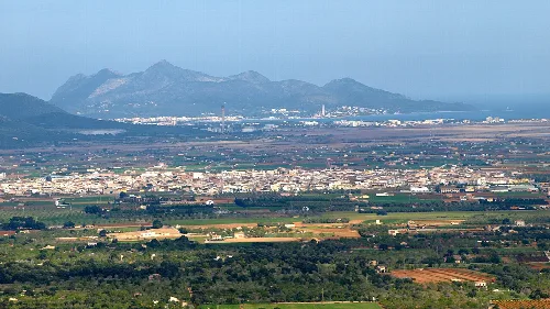
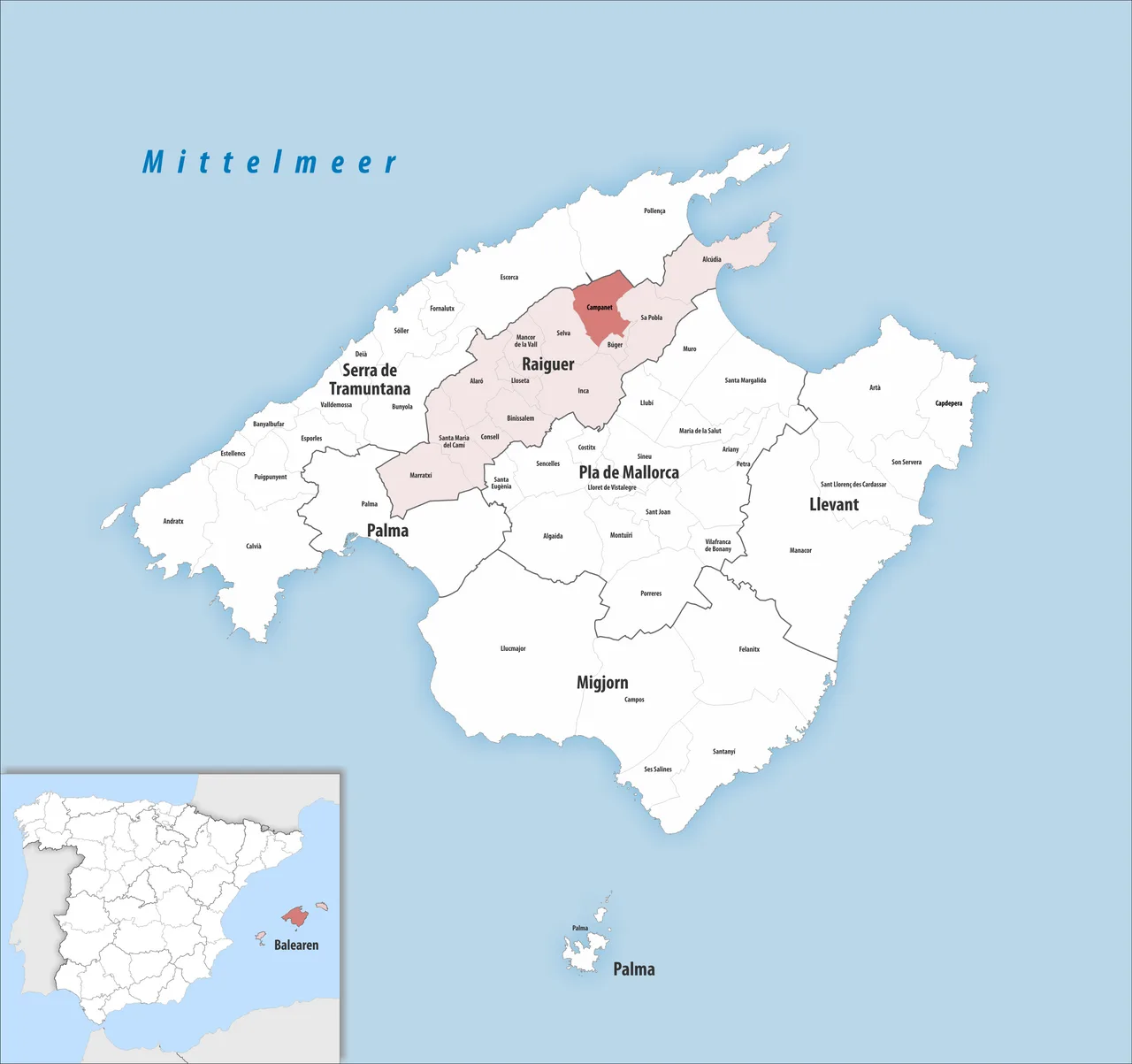
Campanet is a municipality located in the northern part of Mallorca, known for its picturesque landscapes and historical significance. The area features a mix of mountainous terrain and fertile plains, along with notable architectural sites and natural attractions.
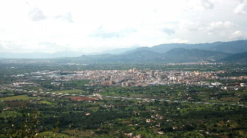
Campanet is situated along the MA-13 road, connecting Inca to Alcúdia. The municipality encompasses diverse landscapes, including mountainous regions in the north and hilly areas formed by the alluvial valleys of the Torrents Comafrea and Caselles. The southern part features an alluvial plain, contributing to the area's agricultural richness.
The name Campanet likely derives from a combination of late Latin and Arabic terms, indicating a long history of habitation. During the Moorish period, it was part of the Inca district and grew significantly in the Middle Ages. The area has seen various political and ecclesiastical changes, becoming an independent parish and municipality in the 14th century.
Explore Campanet, a charming municipality in northern Mallorca with rich history and stunning landscapes.
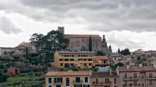
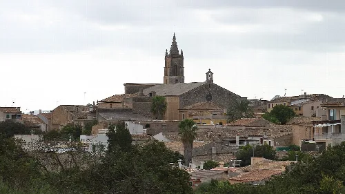
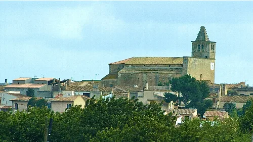
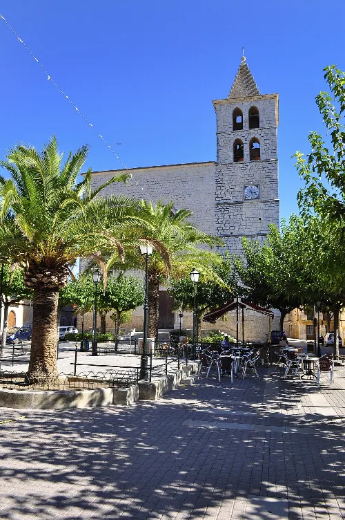
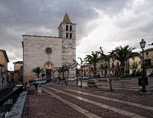
Campanet boasts a rich architectural heritage, including the medieval church of Sant Miquel and various traditional houses. The Coves de Campanet, discovered in 1945, are a notable natural attraction featuring impressive underground formations and lakes.
Own text, written with AI assistance from the facts in Wikipedia · Campanet · Data: Wikidata Q850989 · Photos: Wikimedia Commons, see individual licenses. · CC BY-SA 4.0