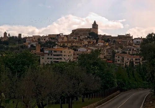
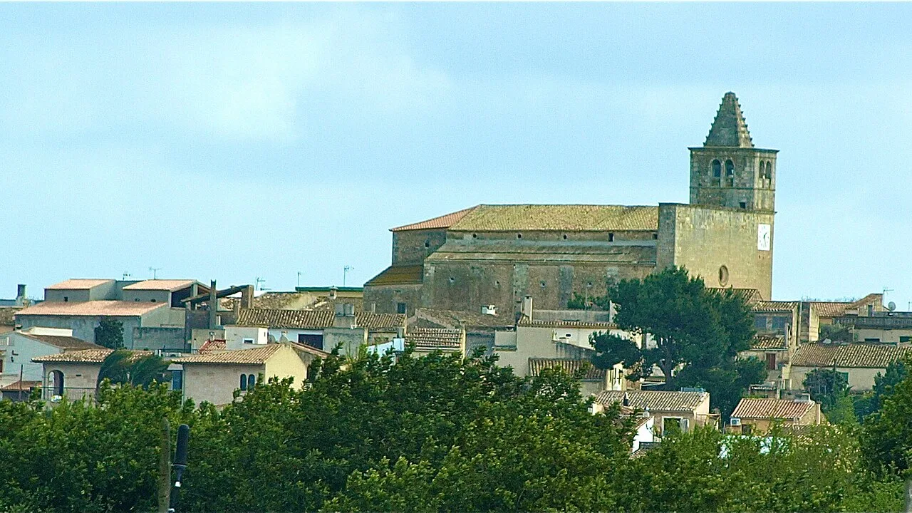
Skyline of Búger with church and houses, surrounded by trees. Chixoy, CC BY-SA 3.0

Búger

Mallorca

1,215Population
8.29 km²Area
105 mElevation
07311Postal code

Búger is the smallest municipality on the Spanish Balearic island of Mallorca, located in the Raiguer comarca. Characterized by its scenic landscapes and rich history, it features a blend of natural beauty and cultural heritage.

02Geography

Situated between Campanet and Sa Pobla in northern Mallorca, Búger is surrounded by a hilly terrain that rises between 80 and 105 meters. The area is characterized by a flat plain that is intersected by the Torrent de Can Llobina and the larger Torrent de Massanelle, which flow through the landscape.

Climate
Receives rainfall year-round, with October being the wettest month.
Patron saint
Sant Pere
Festival dates
Feria del Jai: first weekend of May; Festa de Sant Pere: June 29-30.
Average rainfall
10.1 l/m² in July, 80.9 l/m² in October.

03History

Búger's name has roots in its Moorish past, linked to a former farmstead named Bujar de Rahal Algebel. The area has been inhabited since prehistoric times, with significant archaeological sites like the cave of Can Mossenya and the Talayot settlement of Rafal de Puig.

Búger, the smallest municipality in Mallorca, offers scenic landscapes and a rich historical legacy.

04Culture and Attractions

Despite its small size, Búger boasts a harmonious architectural style and several notable sites. The landscape includes the Torrent de Búger, which historically powered a watermill, and the area is dotted with windmills that are characteristic of the region.
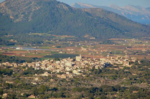
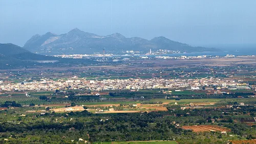
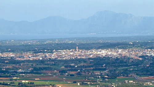
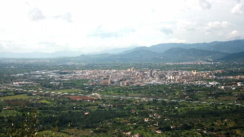
Landscape of Búger with mountains and fields in the background.
Búger with mountains in the background, surrounded by fields and farmland.
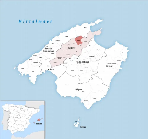
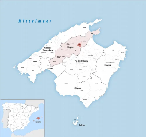
Map of Búger and surroundings on Mallorca.
Map of the municipality of Búger in northeastern Mallorca, in the Raiguer comarca.

05Festivals and Daily Life

Búger hosts several local festivals that reflect its cultural heritage. The Feria del Jai transforms the main street into a vibrant marketplace, featuring agricultural displays and local music, while the Festa de Sant Pere celebrates the patron saint of the village.
Búger · Data
Region
Raiguer
Island
Mallorca
Population
1,215
Area
8.29 km²
Elevation
105 m
Postal code
07311
Website
https://ajbuger.net/ca
Coordinates
39.7591, 2.9856

Photos

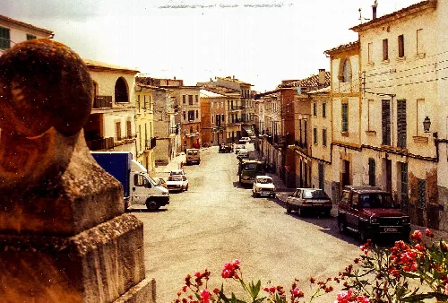
Street with cars and old buildings in Búger, Mallorca.
Búger, Carrer Major in 1998 showing the street and surrounding buildings.
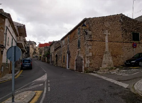
Street view in Búger with buildings and a cross on the square
Streets of Búger with old buildings and a cross on the square
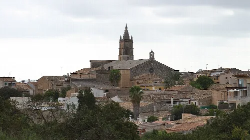
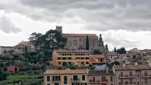
Houses on a hill with a church in the background, surrounded by trees.
Búger is situated on a hill with views of the surrounding houses and the church in the center.

Map

Nearby

Vista de la localidad de La Puebla, en Baleares (España), desde el pico de Santa Magdalena
Sa Pobla
Raiguer · 14,990 inhabitants
View of Llubí with church and houses.
Llubí
Pla de Mallorca · 2,589 inhabitants
Panoramic view of Muro with mountains in the background.
Muro
Pla de Mallorca · 8,398 inhabitants
Panoramic view of Inca and the surrounding mountains from Puig de Santa Magdalena.
Inca
Raiguer · 36,262 inhabitants
General Landscape of Selva (Mallorca, Spain)
Selva
Raiguer · 4,326 inhabitants

Own text, written with AI assistance from the facts in Wikipedia · Búger · Data: Wikidata Q652988 · Photos: Wikimedia Commons, see individual licenses. · CC BY-SA 4.0