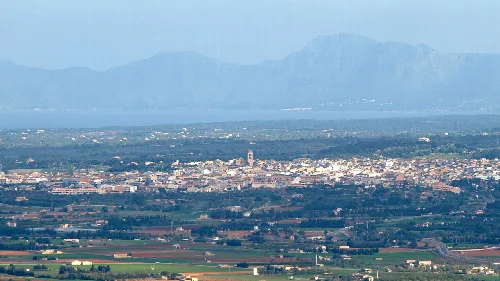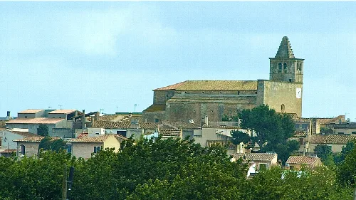
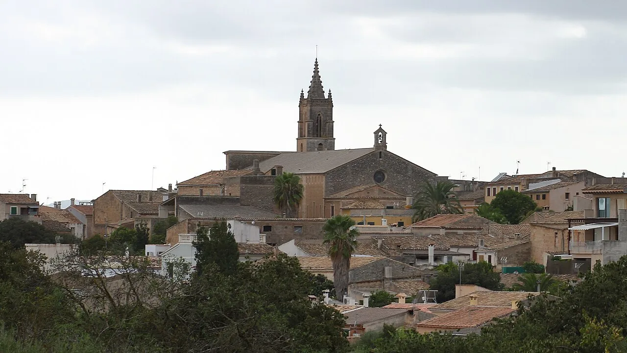
View of Llubí with church and houses. Malopez 21, CC BY-SA 4.0

Llubí

Mallorca

2,589Population
34.90 km²Area
74 mElevation
07430Postal code

Llubí is a municipality located in the Pla de Mallorca region of Mallorca, Spain. Known for its agricultural heritage, particularly capers, it features a blend of historical sites and vibrant local festivals.

02Geography

Llubí is situated in the Llano de Mallorca, characterized by its irregular topography. The urban area is located on two hills through which the torrente de Aumadrà flows, eventually reaching the Albufera de Muro. The town enjoys good connectivity with nearby municipalities such as Muro, Inca, and Santa Margalida.

Climate
Mediterranean, with mild temperatures ranging from 3-15°C in winter and 18-34°C in summer.

03History

The name Llubí is derived from the Roman toponym Castro-lupino, evolving into its current form. Historically, it was a 'llogaret' dependent on the nearby town of Muro. Population fluctuations marked the early 20th century, stabilizing after the 1960s.

Explore Llubí, a charming municipality in Mallorca known for its capers and lively festivals.

04Culture and Economy

Llubí is renowned for its caper production, making it a significant agricultural hub in Mallorca. The local economy also includes a variety of agricultural products, with a focus on dry farming of almonds, carobs, and figs.
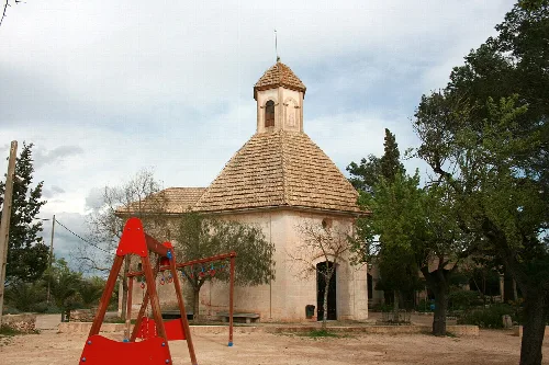
Small chapel with a round roof and playground in the foreground
Ermita del Sant Crist in Llubí, Mallorca, a peaceful spot with trees and a playground in the foreground
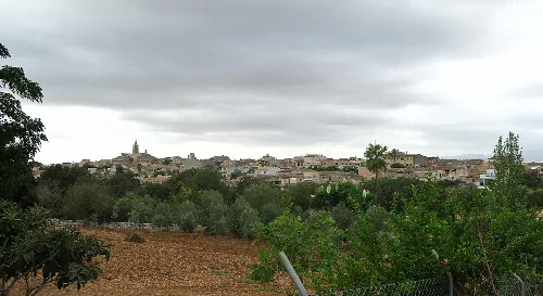
View of Llubí with olive groves and farmland in the foreground.
Llubí is surrounded by farmland and olive groves, with the village visible in the background.
Llubí · Data
Region
Pla de Mallorca
Island
Mallorca
Population
2,589
Area
34.90 km²
Elevation
74 m
Postal code
07430
Website
http://www.ajllubi.net/
Coordinates
39.6991, 3.0049

Photos

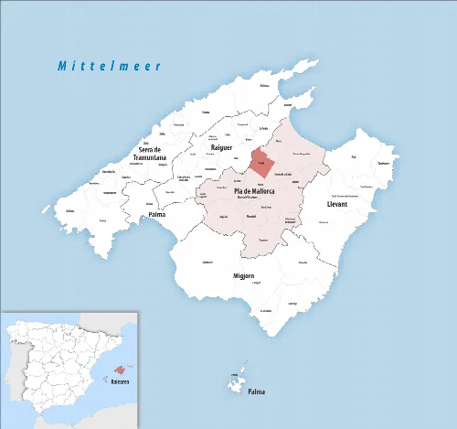
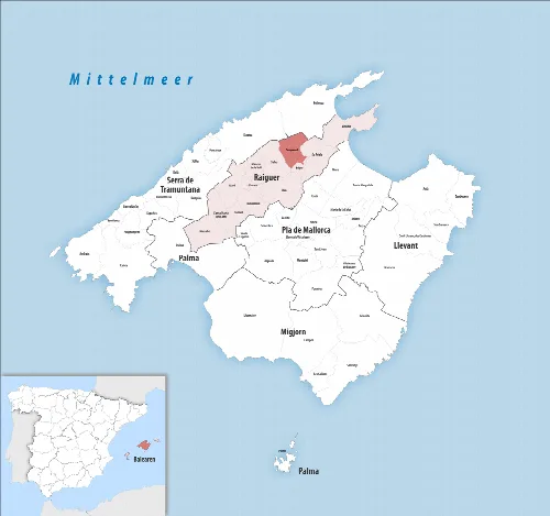
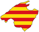
Map of the municipality of Llubí on Mallorca, highlighted in the center.
Map shows the municipality of Llubí in northeastern Mallorca in the comarca Pla de Mallorca.
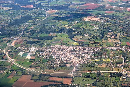
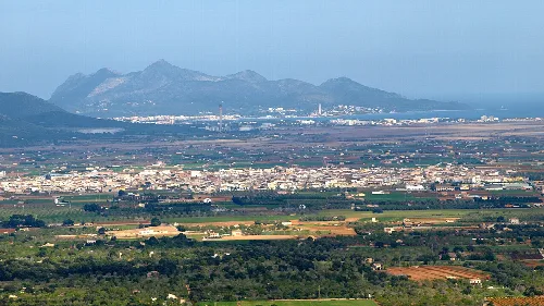
Aerial view of Llubí with fields and roads.
Aerial view of Llubí showing agricultural fields and roads.
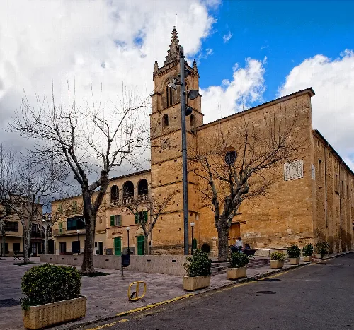
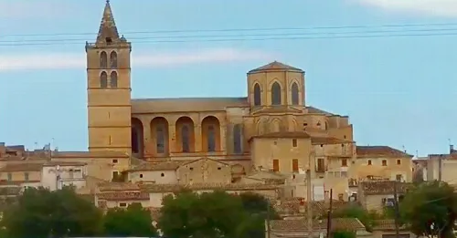
Church with tall tower and trees in Llubí.
Llubí Parish Church with its tall tower and surrounding trees.

Map

Nearby

View of the church and market in Sineu with blue sky
Sineu
Pla de Mallorca · 4,537 inhabitants
Panoramic view of Muro with mountains in the background.
Muro
Pla de Mallorca · 8,398 inhabitants
Skyline of Búger with church and houses, surrounded by trees.
Búger
Raiguer · 1,215 inhabitants
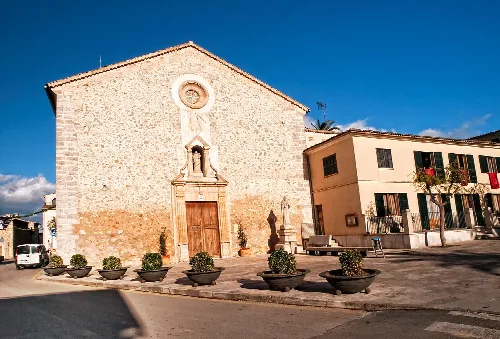
Church in Costitx with simple facade and wooden door.
Costitx
Pla de Mallorca · 1,591 inhabitants
Vista de la localidad de La Puebla, en Baleares (España), desde el pico de Santa Magdalena
Sa Pobla
Raiguer · 14,990 inhabitants

Own text, written with AI assistance from the facts in Wikipedia · Llubí · Data: Wikidata Q185409 · Photos: Wikimedia Commons, see individual licenses. · CC BY-SA 4.0