 mallorca.net
 Chixoy, CC BY-SA 3.0
Mallorca
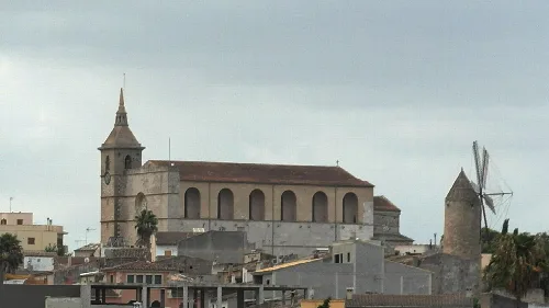
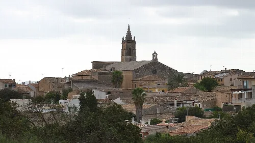
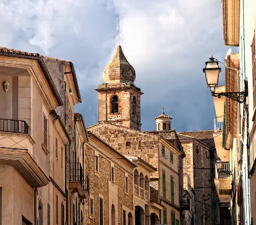
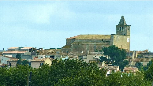
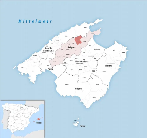
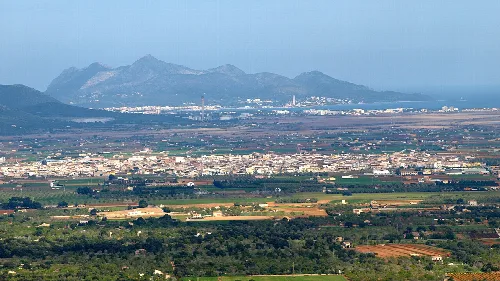
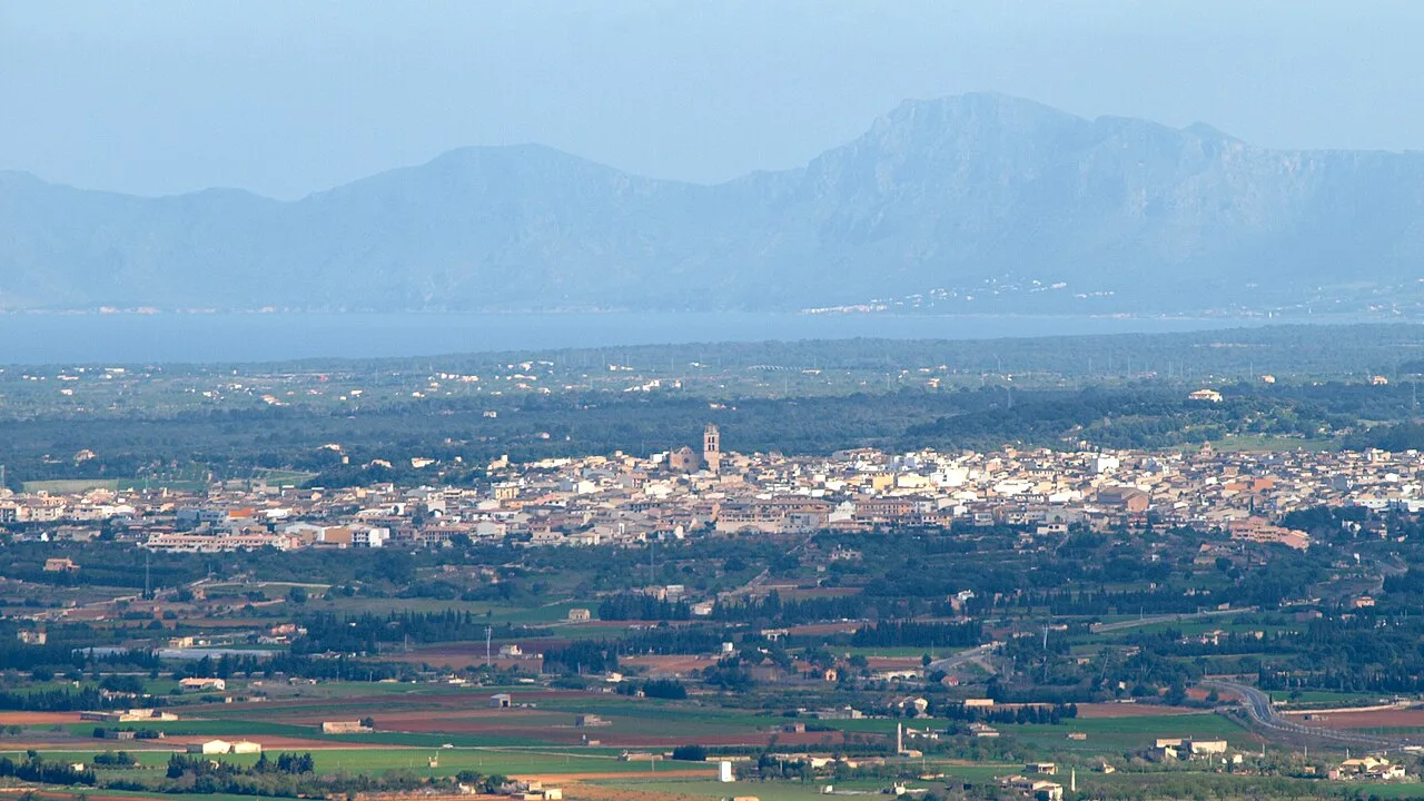
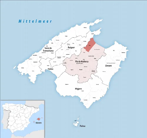
Muro is a municipality located in the northeast of Mallorca, known for its rich agricultural heritage and historical significance. With a population of 8,398, it has evolved from a prehistoric settlement into a vibrant community influenced by various cultures over the centuries.
Muro's history dates back to prehistoric times, with archaeological evidence indicating early human settlement. The area was part of the Roman urban center of Pollentia and later developed under Muslim rule into a thriving agricultural community. The name Muro likely derives from the Arabic term Muruh, meaning 'wall' or 'boundary.' Following the Catalan Conquest in the 13th century, Muro became part of the Kingdom of Majorca, leading to significant demographic and architectural changes.
Muro is renowned for its agricultural production, particularly oranges, lemons, olives, and potatoes. Despite the challenges posed by rising costs and competition from imports, local farmers continue to cultivate these crops, with orange farming remaining a traditional staple. The agricultural sector is vital for the local economy, providing numerous jobs and contributing significantly to the municipality's income.
Muro is a historic municipality in northeast Mallorca, renowned for its agriculture and cultural heritage.
Muro has a balanced population structure, with a majority of residents in the working-age group. The municipality is home to a diverse community, including a significant number of foreign nationals. Tourism plays a crucial role in Muro's economy, especially during the summer months when the number of visitors greatly exceeds the local population.
Own text, written with AI assistance from the facts in Wikipedia · Muro, Mallorca · Data: Wikidata Q595424 · Photos: Wikimedia Commons, see individual licenses. · CC BY-SA 4.0