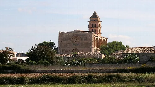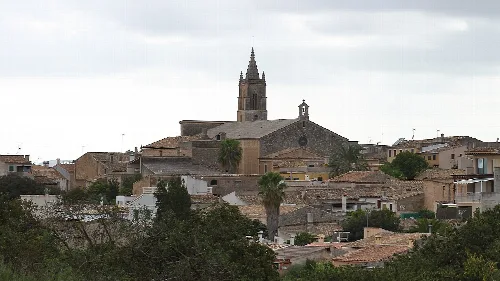
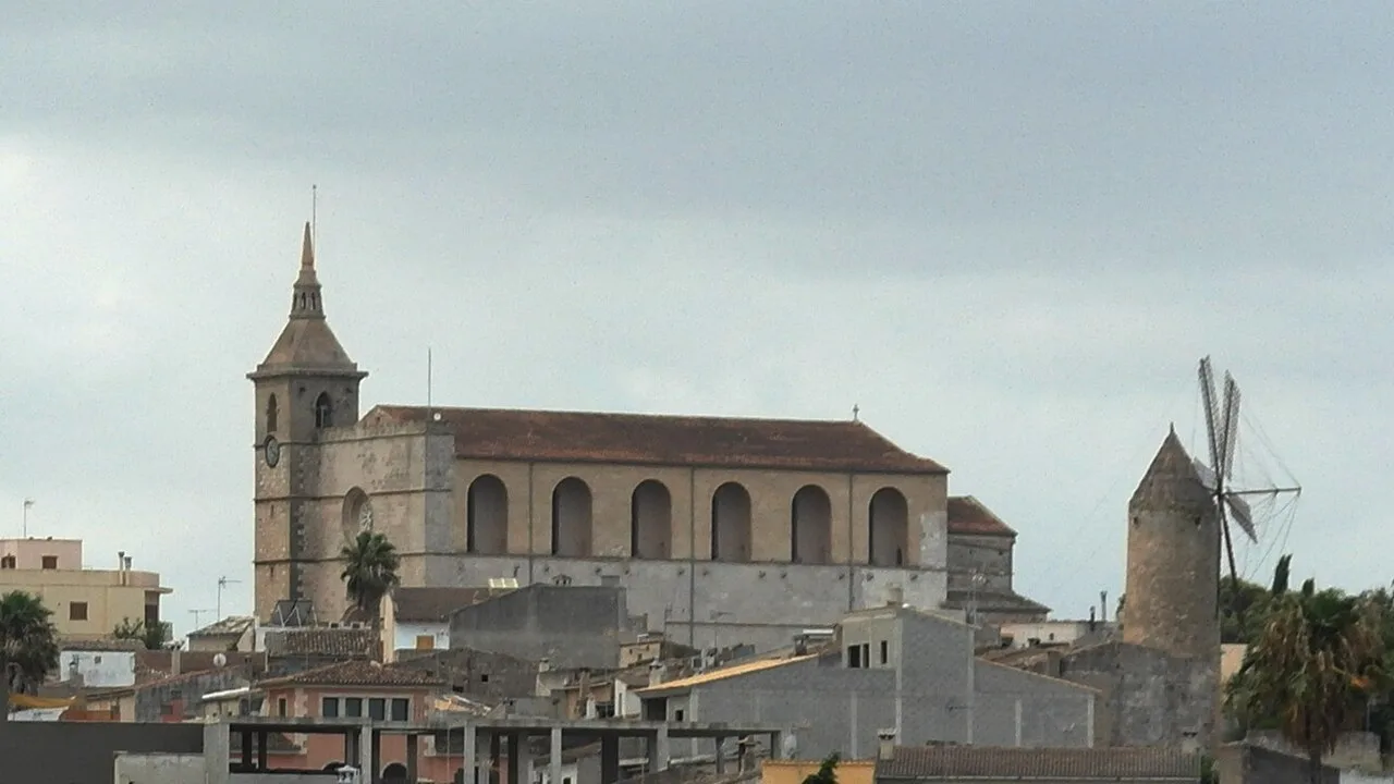
Large church with a bell tower in Santa Margalida, Balearic Islands. trolvag, CC BY-SA 3.0

Santa Margalida

Mallorca

14,056Population
86.51 km²Area
1 mElevation
07450Postal code

Santa Margalida is a municipality located in Mallorca, characterized by its flat terrain and coastal settlements. It encompasses three main towns: Santa Margalida, Can Picafort, and Son Serra de Marina, each contributing to the area's cultural and economic landscape.

02Geographical Location

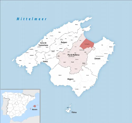
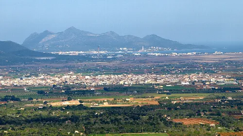
Santa Margalida is situated approximately 45 kilometres from Palma, the capital of Mallorca. This municipality is part of the Pla de Mallorca region, known for its flat landscape, with elevations slightly above sea level. The area features several streams flowing towards the northeast coast and is bordered by a freshwater swamp to the northwest.

03History

The region has been inhabited since between the 7th and 2nd centuries BCE, with significant development during the Muslim occupation. The village of Santa Margalida was established following the Reconquista and has historical ties to agriculture, particularly cereal production. The town experienced migration during the reign of the Catholic Monarchs due to socio-economic changes.

Explore Santa Margalida, a Mallorca municipality with rich history, coastal towns, and vibrant cultural celebrations.

04Attractions and Culture

Santa Margalida offers a variety of attractions, including historical sites and natural parks. The municipality is home to several beaches and the Necropolis of Son Real, a significant archaeological site. Cultural festivities, particularly the feast of the Patron Saint, highlight the community's traditions.
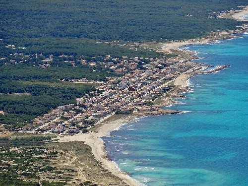
Aerial view of Son Serra de Marina with beach and water.
Son Serra de Marina in the municipality of Santa Margalida, Mallorca, with beach and sea.
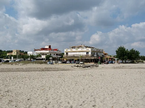
Beach with buildings and cars in Son Serra de Marina.
Son Serra de Marina, Santa Margalida, Mallorca, with view of the beach and buildings.
Santa Margalida · Data
Region
Pla de Mallorca
Island
Mallorca
Population
14,056
Area
86.51 km²
Elevation
1 m
Postal code
07450
Website
http://www.ajsantamargalida.net
Coordinates
39.7033, 3.1036

Photos

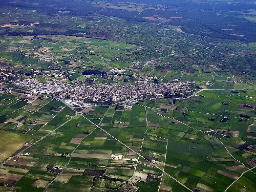
Aerial view of Santa Margalida with fields and roads.
Aerial view of Santa Margalida with farmland and roads.
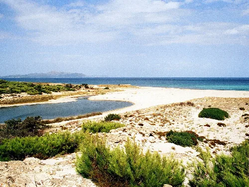
Beach with sand, water, and vegetation in Alcudia Bay.
Son Real beach in the bay of Alcudia, Mallorca, with sand, water, and vegetation.
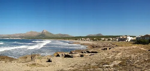
Beach with sand, rocks, sea, and mountains in the background.
Son Serra de Marina beach in Santa Margalida with views of the sea and nearby mountains.
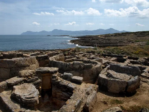
Stone graveyard with round and rectangular tombs by the sea.
Archaeological site with ancient tombs by the sea in Son Real, Mallorca.
Map showing Santa Margalida in Pla de Mallorca, highlighted in red.
Map of Santa Margalida municipality in Pla de Mallorca, highlighted in red.

Map

Nearby

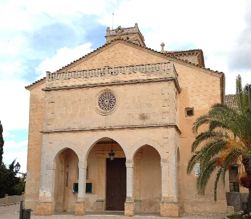
Facade of the Church of Our Lady of Atocha with palm trees in Ariany.
Ariany
Pla de Mallorca · 1,072 inhabitants
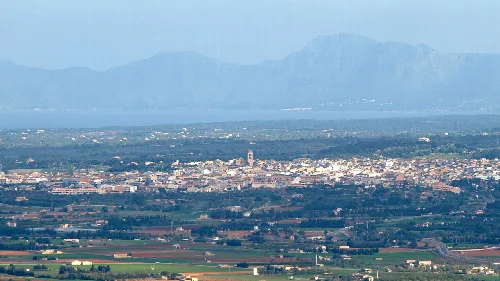
Panoramic view of Muro with mountains in the background.
Muro
Pla de Mallorca · 8,398 inhabitants
Church with tower in Petra, Mallorca.
Petra
Pla de Mallorca · 3,231 inhabitants
View of Llubí with church and houses.
Llubí
Pla de Mallorca · 2,589 inhabitants
Vista de la localidad de La Puebla, en Baleares (España), desde el pico de Santa Magdalena
Sa Pobla
Raiguer · 14,990 inhabitants

Own text, written with AI assistance from the facts in Wikipedia · Santa Margalida · Data: Wikidata Q984491 · Photos: Wikimedia Commons, see individual licenses. · CC BY-SA 4.0