 mallorca.net
 Derbrauni, CC BY-SA 4.0
Mallorca
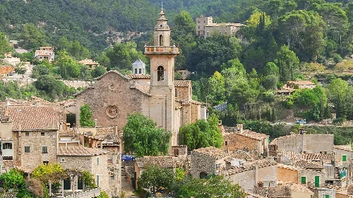
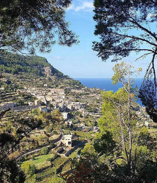
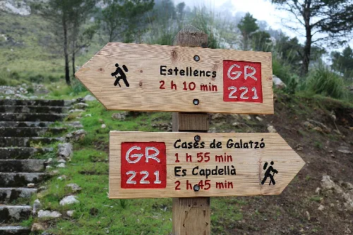
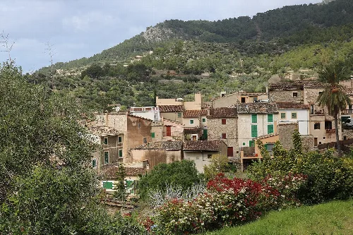
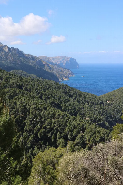
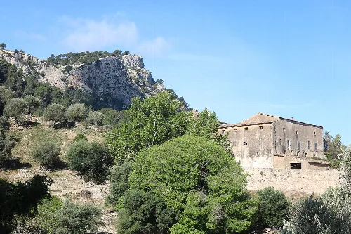
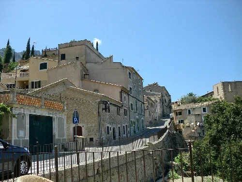
Estellencs is a municipality located in the Serra de Tramuntana region of Mallorca, known for its picturesque landscapes and historical significance. The village attracts visitors for its hiking trails and charming architecture, making it a popular destination for outdoor enthusiasts and tourists alike.
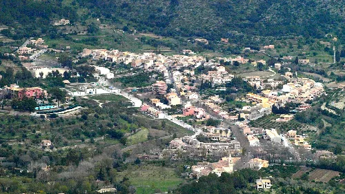
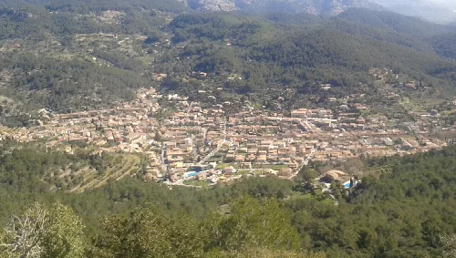
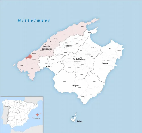
Nestled in the northwest of Palma, Estellencs is situated along the Ma-10 coastal road connecting Andratx and Sóller. The village is dominated by the Puig de Galatzó, the highest peak in the southern Tramuntana, rising to 1,027 meters. The municipality, covering an area of 13 km², is bordered by Banyalbufar to the north, Calvià and Puigpunyent to the east, and Andratx to the southwest.
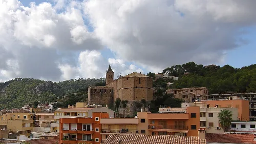
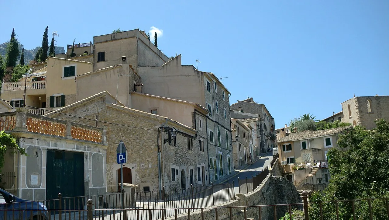
Estellencs was first documented in 1234, shortly after the Reconquista of Mallorca by James I of Aragon and Catalonia. The name is believed to have Arabic origins. Until the 19th century, the village was relatively isolated, accessible only by a narrow cobbled path leading to Palma. In 2007, the medieval core of the village was declared a cultural heritage site.
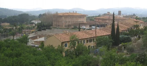
Estellencs, a charming municipality in Mallorca, is known for its stunning landscapes and rich history.
The economy of Estellencs is primarily based on agriculture, with a focus on terrace-grown tomatoes and wine production. The village features several eateries along the main road, popular during the summer months, and a few small hotels catering mainly to hikers. The local oil press adds to the agricultural charm of the area.
Own text, written with AI assistance from the facts in Wikipedia · Estellencs · Data: Wikidata Q988702 · Photos: Wikimedia Commons, see individual licenses. · CC BY-SA 4.0