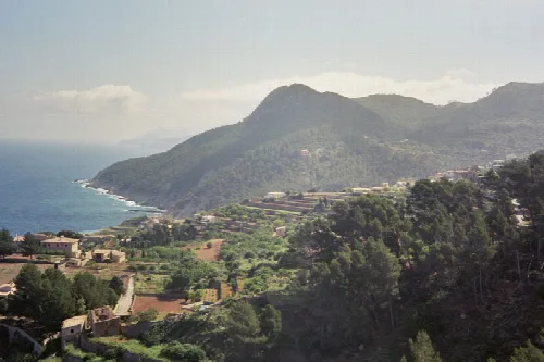
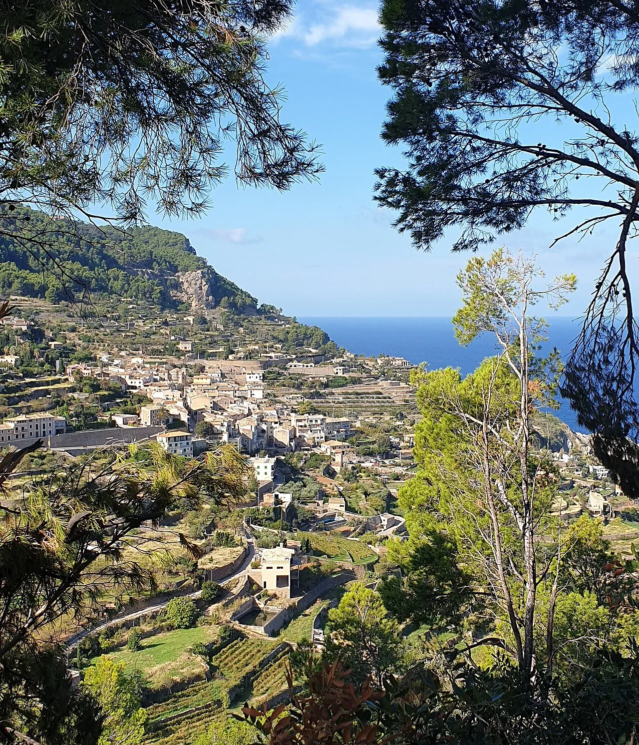
Landscape with houses, terraces, and sea in the background. Lopezsuarez, CC BY-SA 4.0

Banyalbufar

Mallorca

913Population
18.50 km²Area
2 mElevation
07191Postal code

Banyalbufar is a municipality located on the island of Mallorca, known for its agricultural heritage and stunning coastal views. The town, which shares its name with the municipality, is nestled in the Serra de Tramuntana mountain range and features a rich history tied to its Moorish roots.

02Geography

Banyalbufar covers an area of 18.5 km² and is situated along the C-710 road, connecting Andratx to Valldemossa. The municipality is characterized by its proximity to the Serra de Tramuntana mountains, which include several peaks, with Mola de Planícia being the highest. The region experiences rainfall throughout the year, with October typically seeing the heaviest precipitation.

Average rainfall in July
10.1 L/m2
Average rainfall in October
80.9 L/m2
Heaviest rainfall recorded
170 L/m2 on 10 June 1975

03History

The name Banyalbufar is derived from the Arabic term Banyalbahar, meaning 'founded by the sea', reflecting its Moorish heritage. Following the Catalan conquest in 1229, the area was governed by local barons, and agriculture became the mainstay of the economy, particularly the cultivation of the prized Malvasier grape.

Banyalbufar is a picturesque municipality in Mallorca, renowned for its agricultural history and scenic coastal views.

04Points of Interest

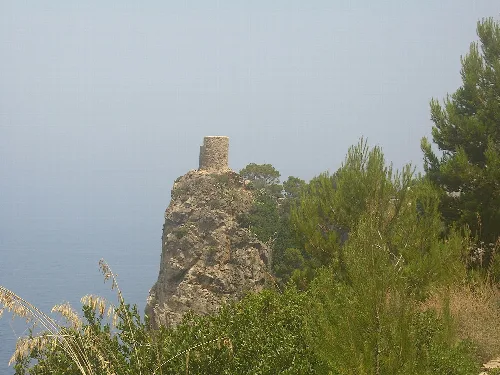
Banyalbufar is home to several notable attractions, including the Torre de ses Animes, a watchtower built to protect against Moorish pirates. This site offers panoramic views of the sea and is a popular destination for visitors. Additionally, La Baronía, an old manor-house in the village center, has been converted into a hotel, adding to the area's charm.
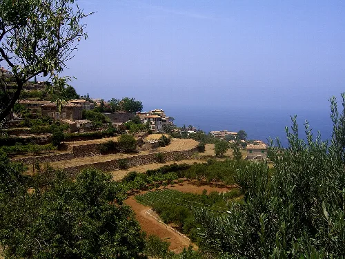
Terraces in Banyalbufar with sea view and houses in the Serra de Tramuntana.
Terraces in Banyalbufar with views of the sea and surrounding houses in the Serra de Tramuntana.
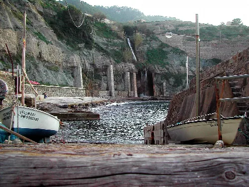
Harbour with boats and terraces in Banyalbufar
Banyalbufar harbour with boats and steep terraces in the Serra de Tramuntana
Banyalbufar · Data
Region
Serra de Tramuntana
Island
Mallorca
Population
913
Area
18.50 km²
Elevation
2 m
Postal code
07191
Website
http://www.ajbanyalbufar.net/
Coordinates
39.6875, 2.5148

Photos

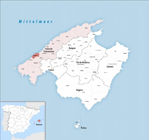
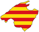
Map of Banyalbufar municipality on Mallorca
Map of Banyalbufar municipality in the Serra de Tramuntana on Mallorca
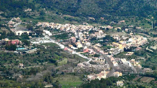
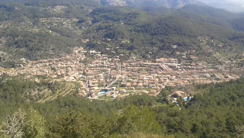
Hilly landscape with trees, houses, and sea view in Banyalbufar
View of the coast and hilly landscape of Banyalbufar in the Serra de Tramuntana
Watchtower on a rock surrounded by trees in Banyalbufar.
A watchtower on a high rock in Banyalbufar overlooking the sea.
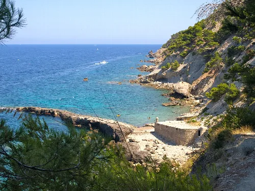
Rocks, water, and coastal path at Punta Galera in Banyalbufar.
View of Punta Galera with rocks, water, and coastal path in Banyalbufar in the Serra de Tramuntana.
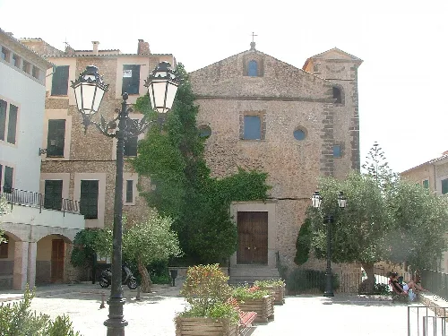
Stone church with trees and lamps in Banyalbufar.
Church in Banyalbufar surrounded by trees and old buildings, located in the town center.

Map

Nearby

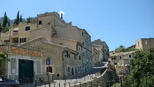
Street with stone houses and parking sign in Estellencs, Mallorca.
Estellencs
Serra de Tramuntana · 369 inhabitants
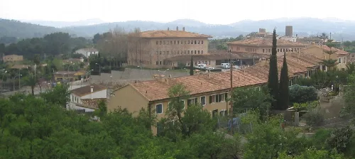
Vista d'Esporles des del Cor de Jesús
Esporles
Serra de Tramuntana · 5,264 inhabitants
Village with old buildings and green trees in Calvià, Mallorca.
Calvià
Serra de Tramuntana · 53,793 inhabitants
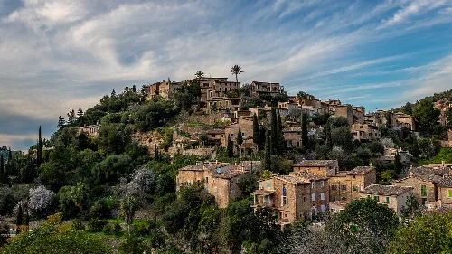
Houses on a hillside in Deià, Mallorca.
Deià
Serra de Tramuntana · 741 inhabitants

Own text, written with AI assistance from the facts in Wikipedia · Banyalbufar · Data: Wikidata Q616408 · Photos: Wikimedia Commons, see individual licenses. · CC BY-SA 4.0