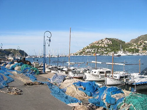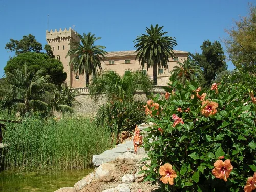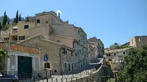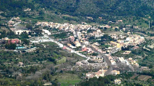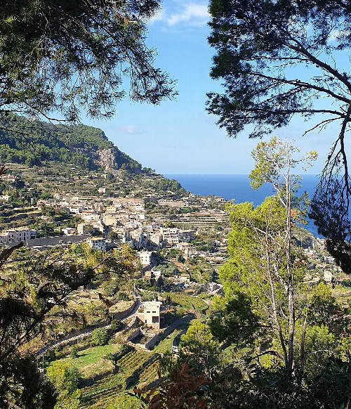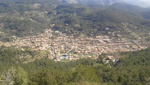
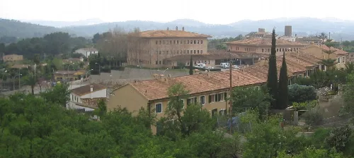
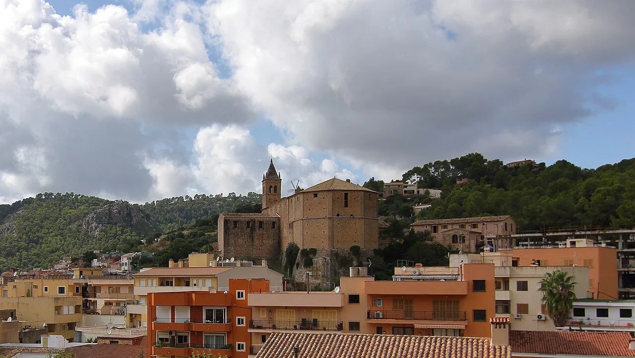
View of Andratx with church and mountains. Malopez 21, CC BY-SA 4.0

Andratx

Mallorca

12,195Population
81.46 km²Area
101 mElevation
07150Postal code

Andratx is a municipality located on the western tip of Mallorca, part of the Balearic Islands in Spain. Known for its picturesque landscapes and historical significance, it features a blend of ancient heritage and modern tourism.

02Geography

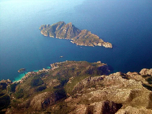
Andratx is situated in the southwestern corner of the Sierra de Tramuntana, characterized by its mountainous terrain. The municipality features densely populated valleys in the south, while the northern region remains largely uninhabited and rugged. Off the coast lies the islet of Sa Dragonera, a designated Natural Park accessible by boat from Puerto de Andratx or Sant Elm.

Highest point
927 metres
Nearby islet
Sa Dragonera
Natural Park designation
1995

03History

The history of Andratx dates back to ancient times, with Roman occupation evident from artifacts such as pottery and coins. The town was strategically built inland to protect against pirate raids, leading to the construction of observation towers in the 16th century. Today, 12 of the original 14 towers still stand, showcasing the area's historical defenses.

Andratx is a historical municipality in Mallorca, known for its scenic beauty and cultural heritage.

04Economy and Culture

Tourism is the primary economic activity in Andratx, overshadowing traditional agriculture and fishing, which are now mainly for personal use. The region is known for its agricultural products, including almonds, figs, and grapes used for local wine production. Cultural venues such as the CCA Andratx Cultural Center and various churches highlight the municipality's artistic heritage.
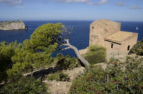
Torre de Cala en Basset by the sea with a tree in the foreground.
View of the Torre de Cala en Basset overlooking the sea at Sant Elm.
Aerial view of Sa Dragonera island and the coast of Andratx.
Aerial view of Sa Dragonera island off the coast of Andratx in the Serra de Tramuntana
Andratx · Data
Region
Serra de Tramuntana
Island
Mallorca
Population
12,195
Area
81.46 km²
Elevation
101 m
Postal code
07150
Website
http://www.andratx.es/
Coordinates
39.5746, 2.4206

Photos

Harbor with boats and mountains in the background.
View of Port d'Andratx harbor with boats and mountains in the background.
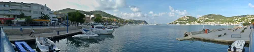
Panorama of the harbor and mountains in Port d’Andratx.
180° panorama of the town and bay of Port d’Andratx in Andratx, showing the harbor and surrounding mountains.
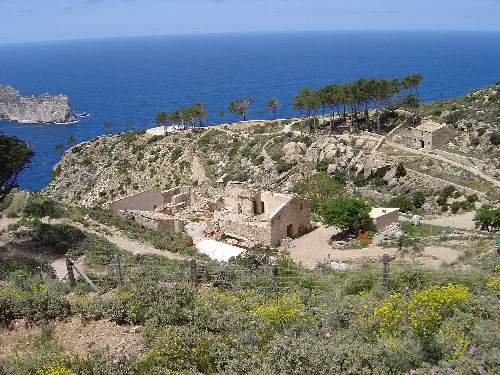
Ruins of La Trapa on a cliff with sea in the background.
Ruins of La Trapa with sea view in Andratx, Mallorca.
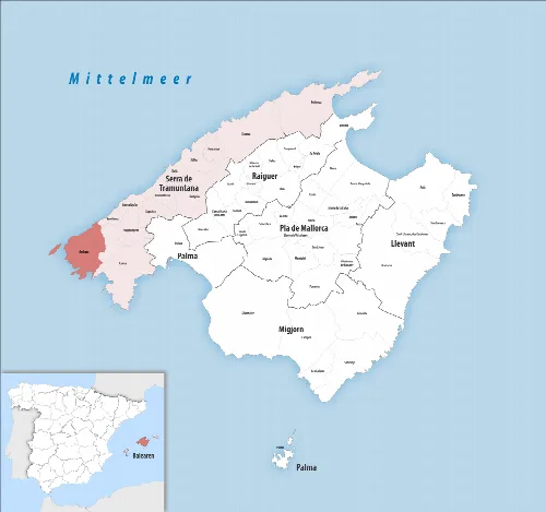
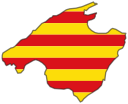
Map of the municipality of Andratx in the Serra de Tramuntana on Mallorca
Castle on a hill surrounded by palms and flowers, under a blue sky
View of Andratx castle surrounded by palms and flowers, with Serra de Tramuntana in the background

Map

Nearby

Village with old buildings and green trees in Calvià, Mallorca.
Calvià
Serra de Tramuntana · 53,793 inhabitants
Street with stone houses and parking sign in Estellencs, Mallorca.
Estellencs
Serra de Tramuntana · 369 inhabitants
Vista d'Esporles des del Cor de Jesús
Esporles
Serra de Tramuntana · 5,264 inhabitants
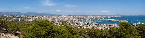
Panoramic view of Palma from Castell de Bellver, with city, harbor, and sea.
Palma
Palma · 434,786 inhabitants

Own text, written with AI assistance from the facts in Wikipedia · Andratx · Data: Wikidata Q493017 · Photos: Wikimedia Commons, see individual licenses. · CC BY-SA 4.0