 mallorca.net
 Hans, CC0
Mallorca
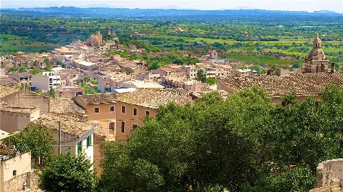
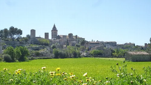
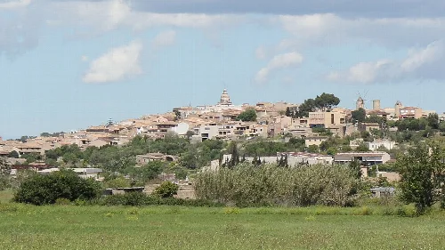
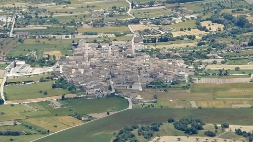
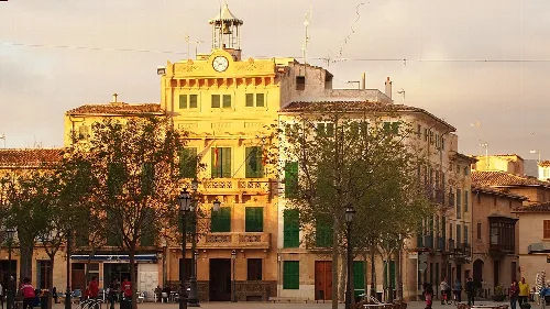
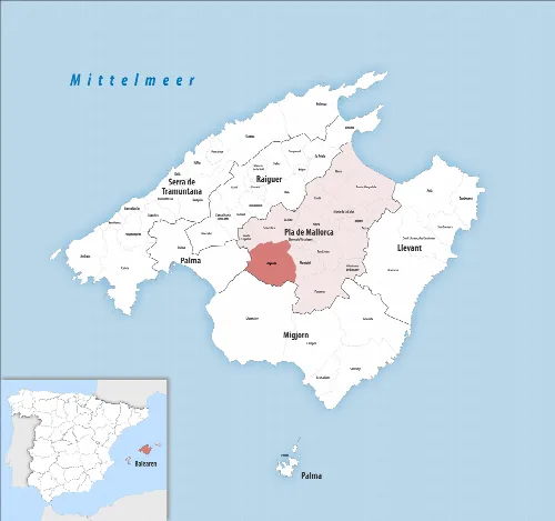
Algaida is a municipality located in the southeast of Mallorca, known for its picturesque landscapes and rich cultural heritage. It features notable religious sites and traditional craftsmanship, particularly in glassblowing.
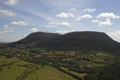
Algaida is situated approximately 22 km from Palma along the main highway to Manacor. The area is characterized by six small mountains, with Puig de Randa being the most prominent at an elevation of 543 m. The region experiences rainfall throughout the year, with July being the driest month.
The name Algaida derives from the Arabic term al-gaida, meaning 'the Base'. The municipality includes the communities of Algaida, Pina, and Randa, with its first recorded mention dating back to 1232.
Algaida is a municipality in southeast Mallorca, renowned for its scenic beauty and cultural landmarks.
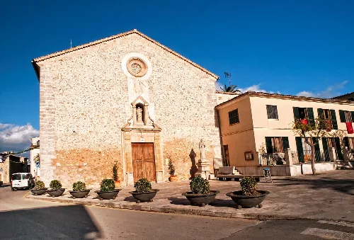
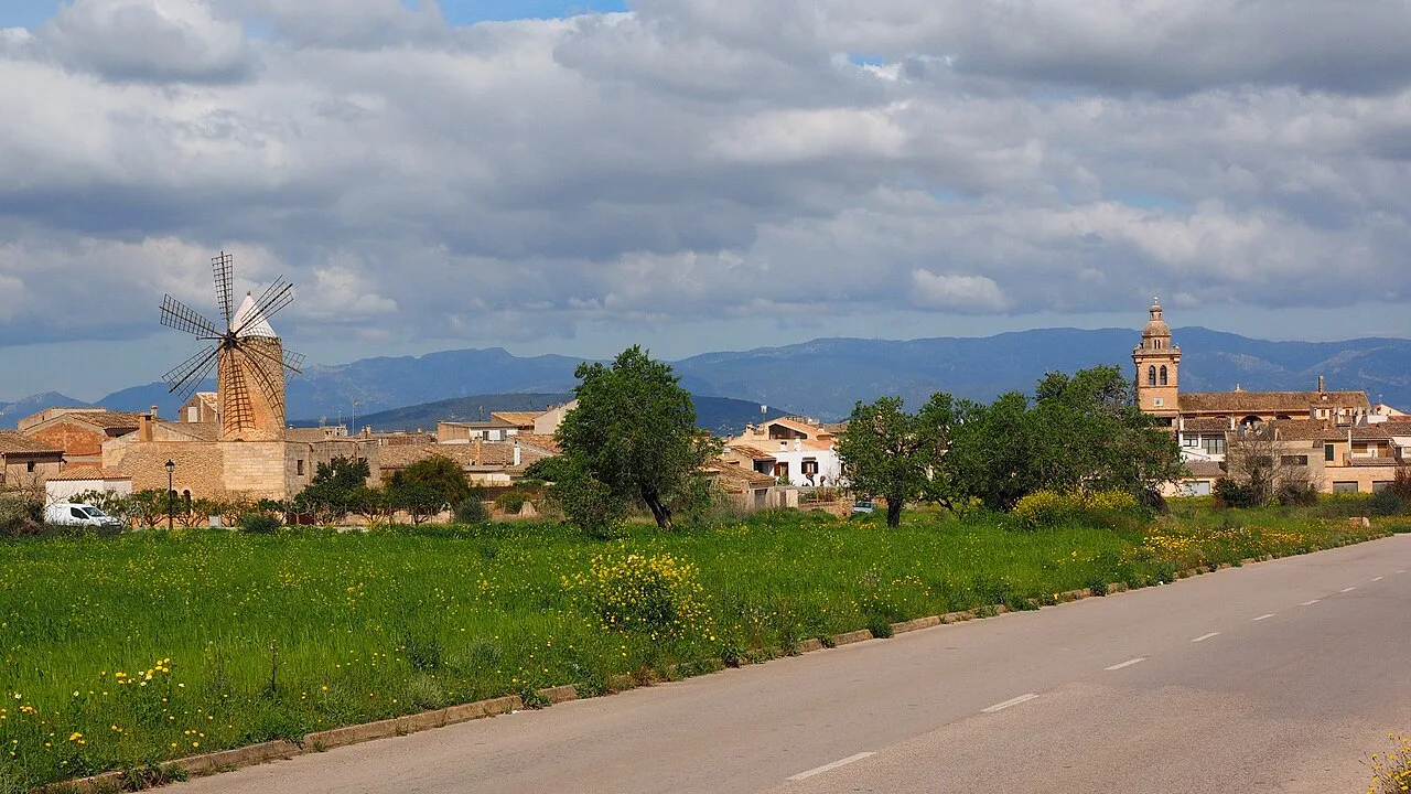
Algaida is home to several significant religious sites, particularly on Puig de Randa, which features three sanctuaries: the Santuario de Nuestra Señora de Gracia, the Santuario de Sant Honorat, and the Santuario Nuestra Señora de Cura. The town also boasts cultural landmarks such as the Gordiola glass-blowing factory and various windmills.
Own text, written with AI assistance from the facts in Wikipedia · Algaida · Data: Wikidata Q851011 · Photos: Wikimedia Commons, see individual licenses. · CC BY-SA 4.0