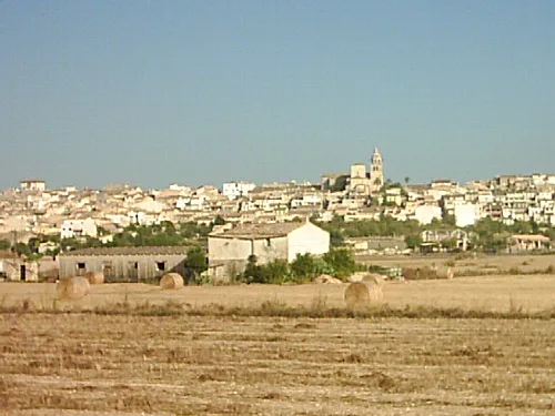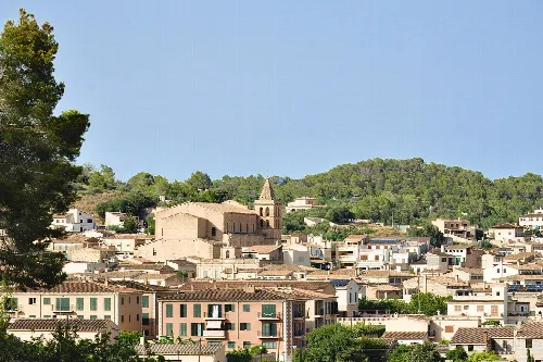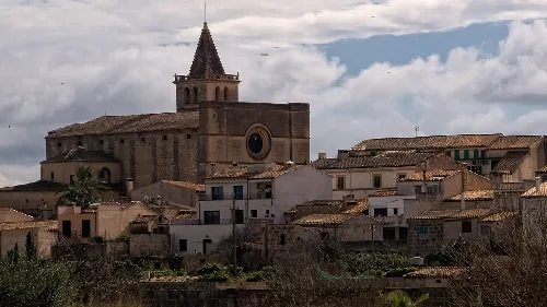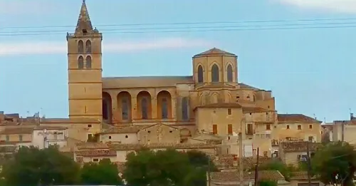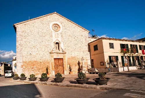
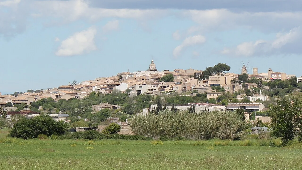
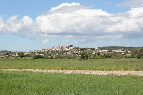
View of Montuïri with houses and a church on the hill. Chixoy, CC BY-SA 3.0

Montuïri

Mallorca

3,289Population
41.09 km²Area
172 mElevation
07230Postal code

Montuïri is a municipality located in the Pla de Mallorca region of Mallorca, characterized by its agricultural history and Mediterranean landscape. The town is situated north of the Palma-Manacor road, surrounded by small hills and valleys, and has transitioned from an agricultural community to one focused on services due to tourism.

02Geography

Montuïri showcases the typical landscape of the Pla de Mallorca, featuring small hills and valleys. The municipality is divided into two distinct geographical areas: the northern and eastern lands with the Sierra del Fonoi, and the central, southwestern, and western plains surrounding the town, which were once marshy.

Highest point
Puig de ses Tres Fites (342 m)
Lowest point
170 m (town center)
Main watercourse
Torrente de Pina
Flora
Mediterranean species, including cereals and almond trees
Fauna
Common birds and mammals of the island

03History

Montuïri was established as a royal town in 1300, according to the charter granted by King Jaime II of Mallorca. Over the centuries, it has evolved from a primarily agricultural community to one that now relies heavily on the service sector.

Montuïri, a municipality in Mallorca, features a rich agricultural history and a Mediterranean landscape.

04Economy and Daily Life

Historically, Montuïri was an agricultural village, with most residents engaged in farming. However, since the 1960s, the rise of tourism led to a decline in agricultural activities, prompting many locals to seek employment in Palma de Mallorca or Manacor.
Current accommodations
Two rural hotels and one agrotourism site
Population working in Palma or Manacor
Significant portion
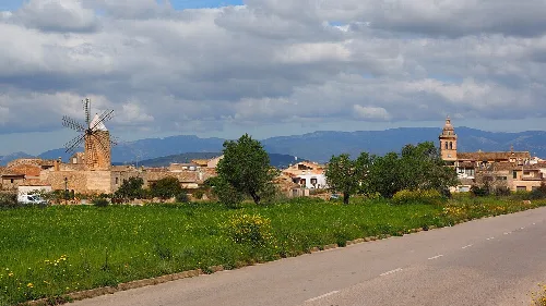
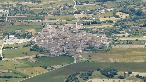
Landscape with Montuïri town and fields in Pla de Mallorca.
View of the town of Montuïri surrounded by fields in Pla de Mallorca.
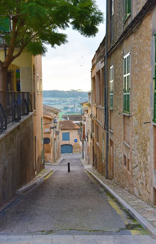
Narrow street in Montuiri with old buildings on both sides and view of the landscape in the background
Street in Montuiri with a view of the surrounding landscape in the background
Montuïri · Data
Region
Pla de Mallorca
Island
Mallorca
Population
3,289
Area
41.09 km²
Elevation
172 m
Postal code
07230
Website
http://www.ajmontuiri.net/
Coordinates
39.5700, 2.9841

Photos

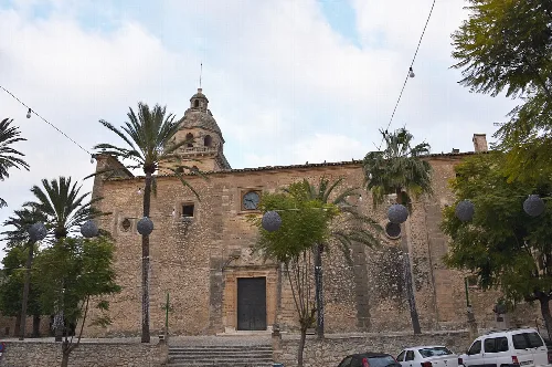
Montuïri town hall with bell tower and surrounding trees.
The town hall of Montuïri is a historic building with a baroque facade and a bell tower.
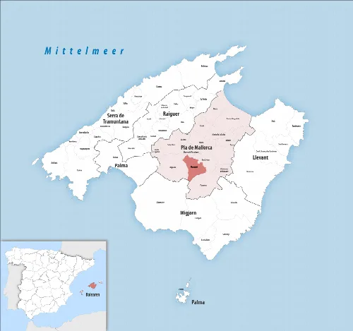
Map with Montuïri in the center, surrounded by other municipalities.
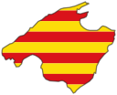
Map showing the municipality of Montuïri in the Pla de Mallorca region on Mallorca.
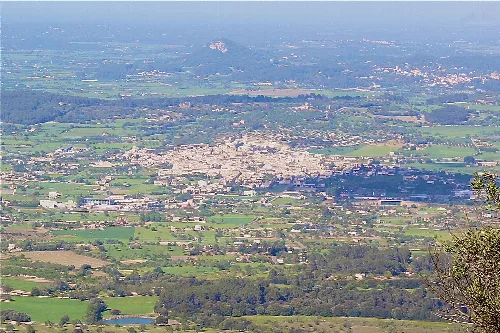
Landscape with town and fields, view of Montuïri from Puig de Randa.
View of Montuïri from Puig de Randa with farmland and the town in the valley.
View of Montuïri with fields in the foreground and town in the background
Montuïri seen from the north with the town in the background and fields in the foreground

Map

Nearby

Town view of Sant Joan with church and nearby hills.
Sant Joan
Pla de Mallorca · 2,336 inhabitants
General landscape of Porreres (Mallorca, Spain)
Porreres
Pla de Mallorca · 5,892 inhabitants
View of the church and market in Sineu with blue sky
Sineu
Pla de Mallorca · 4,537 inhabitants
View of a village with windmill and church tower.
Algaida
Pla de Mallorca · 6,357 inhabitants
Church in Costitx with simple facade and wooden door.
Costitx
Pla de Mallorca · 1,591 inhabitants

Own text, written with AI assistance from the facts in Wikipedia · Montuïri · Data: Wikidata Q983467 · Photos: Wikimedia Commons, see individual licenses. · CC BY-SA 4.0