 mallorca.net

 Olaf Tausch, CC BY 3.0
Mallorca
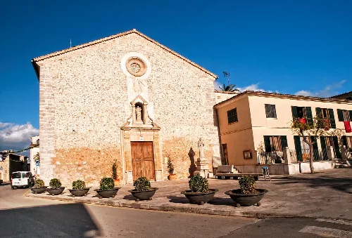
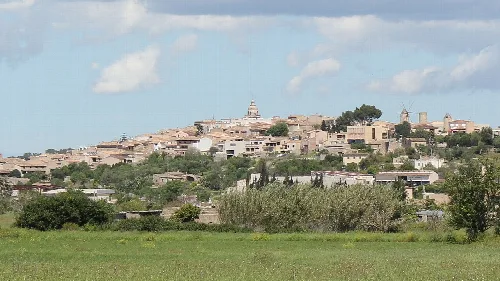
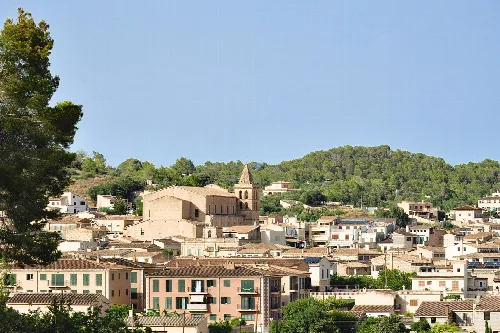
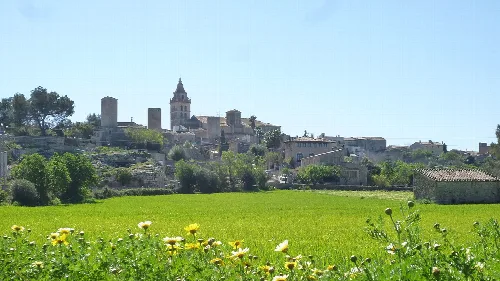
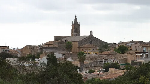
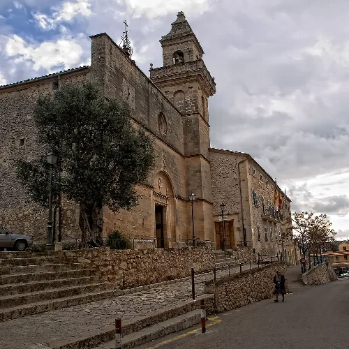
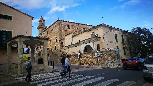
Lloret de Vistalegre is a municipality located in the central part of Mallorca, known for its agricultural activities and rich cultural traditions. The town is characterized by its picturesque landscapes and the celebration of local festivals, particularly Es Sequer, which highlights the region's agricultural heritage.
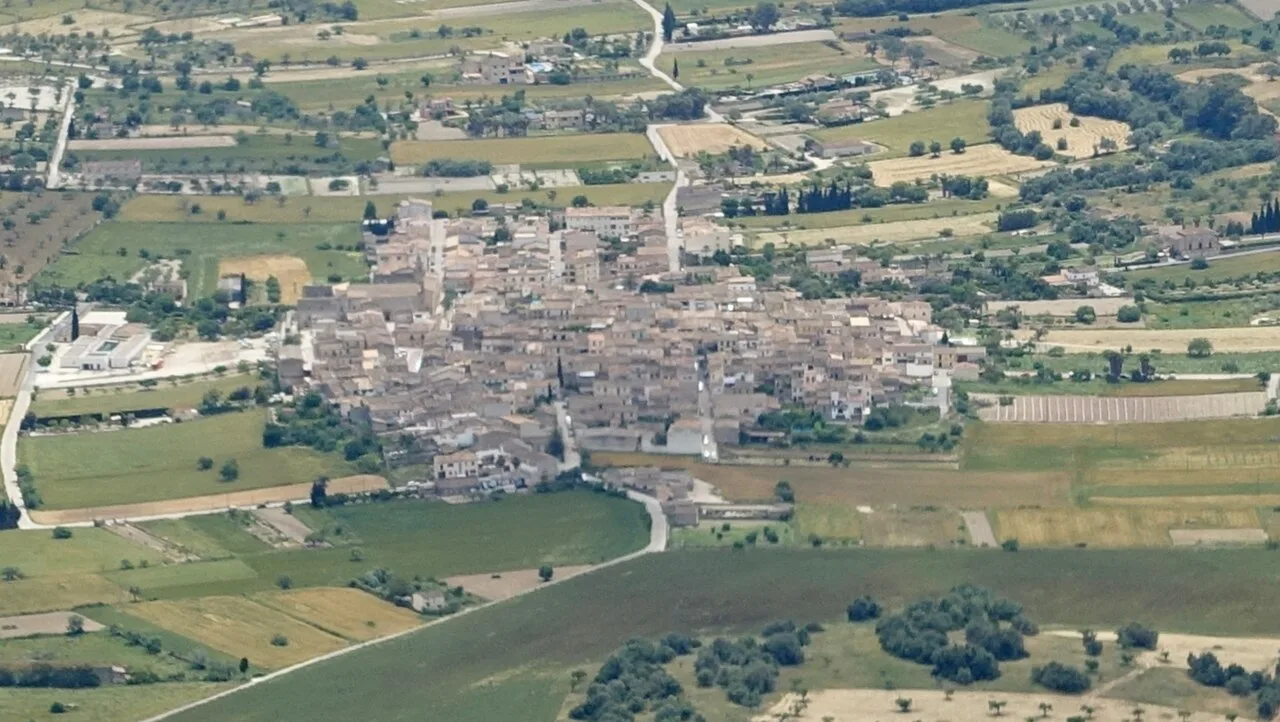
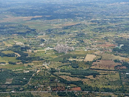
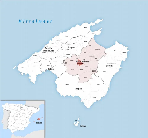
Lloret de Vistalegre is situated in the Pla de Mallorca comarca, recognized as one of the geographical centers of Mallorca. The municipality is surrounded by several towns, including Montuiri and Algaida, and features a landscape that includes agricultural fields and natural areas. The local economy is primarily based on agriculture, with a focus on crops such as cereals and figs.
The history of Lloret de Vistalegre dates back to the Arab period, with various settlements established in the area. Following the Christian conquest, the land was distributed among collaborators of King Jaime I. The village began to grow significantly in the 14th century and underwent several name changes, ultimately becoming Lloret de Vistalegre in 1924 after separating from Sinéu.
Lloret de Vistalegre is a central Mallorca municipality known for agriculture and the Es Sequer festival celebrating local traditions.
Agriculture remains a vital part of Lloret de Vistalegre's economy, with the community historically engaged in farming and livestock. The town also embraces tourism through agrotourism initiatives. The annual festival, Es Sequer, celebrates the local fig harvest and agricultural traditions, showcasing the importance of these practices in the community's identity.
Own text, written with AI assistance from the facts in Wikipedia · Lloret de Vistalegre · Data: Wikidata Q988714 · Photos: Wikimedia Commons, see individual licenses. · CC BY-SA 4.0