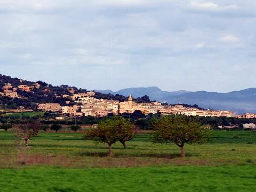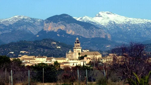
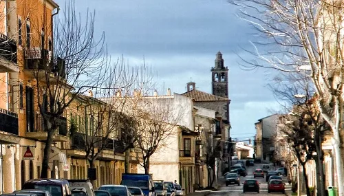
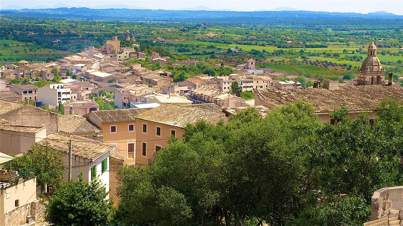
Panoramic view of Santa Eugènia with houses and trees. Chixoy, CC BY-SA 3.0

Santa Eugènia

Mallorca

1,902Population
20.25 km²Area
149 mElevation
07142Postal code

Santa Eugènia is a municipality located in the central part of Mallorca, known for its agricultural heritage and historical significance. It encompasses several population centers, including its capital, Santa Eugènia, and features a blend of traditional Mallorcan architecture and natural landscapes.

02Geography

Santa Eugènia spans an area of 20.25 km² and is situated at an elevation of 149 meters. The municipality is bordered by several others, including Palma de Mallorca to the south and Consell to the north, creating a central location within Mallorca.

Climate
Semi-arid in the southwest; average temperatures range from 30-32 °C maximum to 4-6 °C minimum.
Annual precipitation
500-600 mm, with some areas receiving 400-500 mm.
Vegetation
Predominantly pine forests mixed with garrigue and holm oaks.
Protected area
166 ha of Puig de Son Seguí designated as Area of Special Interest (ANEI).

03History

The history of Santa Eugènia is marked by its agricultural roots and significant events from the medieval period onward. Originally a small settlement known as Benibazari, it evolved through various administrative changes and social upheavals, including the Revolt of the Germanies in the early 16th century.

Santa Eugènia is a central Mallorca municipality known for its agricultural heritage and historical significance.

04Economy and Attractions

Historically, Santa Eugènia has been characterized by its agricultural and livestock production, which dates back to prehistoric times. The local economy has evolved, with a resurgence in viticulture, highlighted by the Torre de Santa Eugenia, a 15th-century estate that now serves as an agrotourism site.
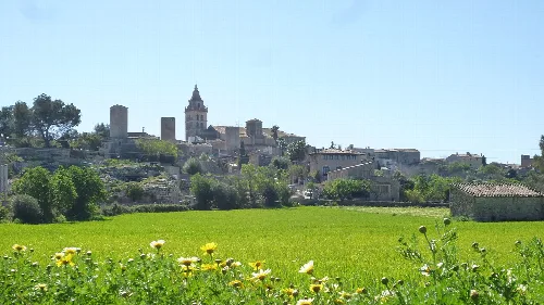
View of Santa Eugenia village with houses and green trees.
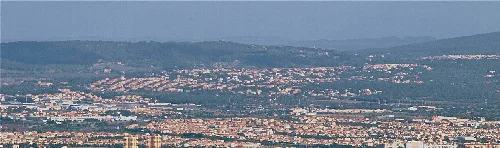
Panoramic view of Santa Eugenia with traditional houses and surrounding landscape.
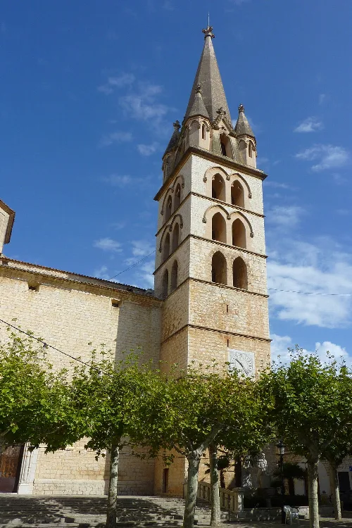
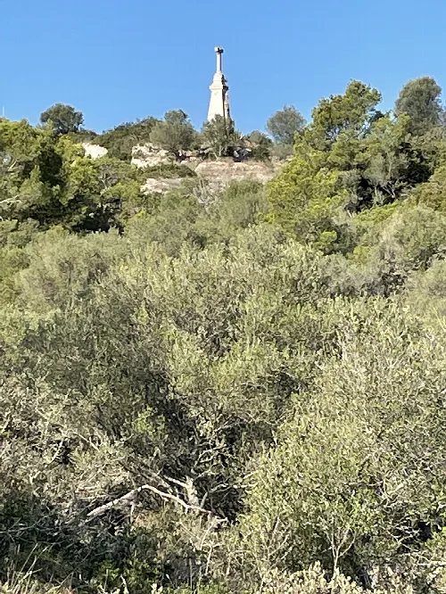
Hill with a statue at the top, surrounded by trees.
Puig de Santa Eugènia is a hill with a statue at the top, surrounded by green trees in Pla de Mallorca.
Santa Eugènia · Data
Region
Pla de Mallorca
Island
Mallorca
Population
1,902
Area
20.25 km²
Elevation
149 m
Postal code
07142
Website
http://ajsantaeugenia.net/
Coordinates
39.6237, 2.8392

Photos

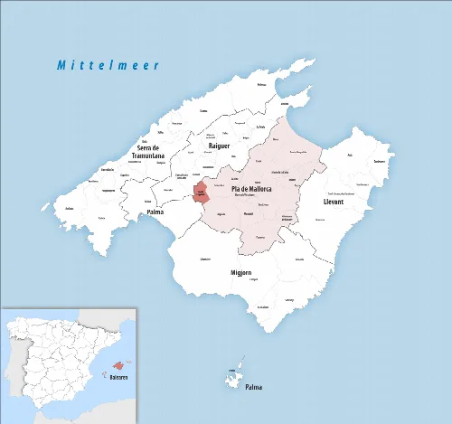
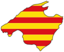
Map of Santa Eugènia municipality on Mallorca with surrounding municipalities.
Map of Santa Eugènia municipality in Pla de Mallorca on Mallorca, showing its location in the northeast.
Landscape with trees, fields, and town in the background.
View of Santa Eugènia with surrounding landscape and sky.

Map

Nearby

Consell streets (Mallorca)
Consell
Raiguer · 4,521 inhabitants
Landscape with church, buildings, and green field in Sencelles.
Sencelles
Pla de Mallorca · 3,973 inhabitants
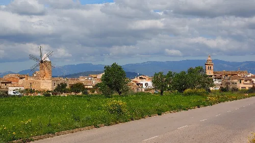
View of a village with windmill and church tower.
Algaida
Pla de Mallorca · 6,357 inhabitants

Own text, written with AI assistance from the facts in Wikipedia · Santa Eugènia, Mallorca · Data: Wikidata Q983631 · Photos: Wikimedia Commons, see individual licenses. · CC BY-SA 4.0