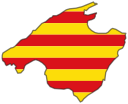
 mallorca.net
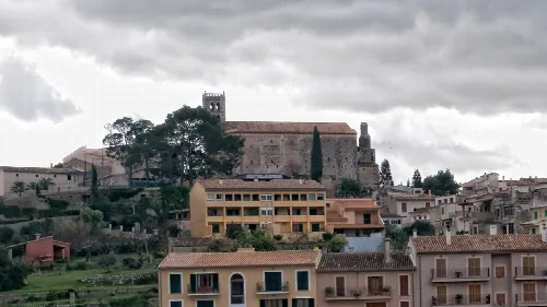
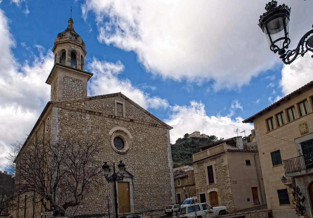 Araceli Merino, CC BY-SA 3.0
Mallorca
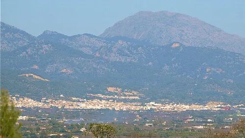
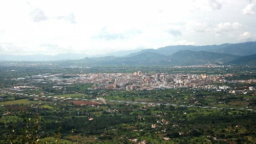
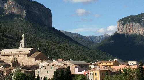
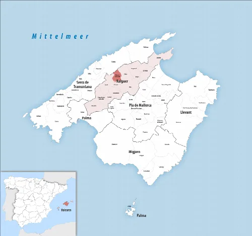
Mancor de la Vall is a municipality located in the Raiguer comarca of Mallorca, nestled in the Tramuntana mountain range. Characterized by its rich history and vibrant local culture, it features a blend of agricultural traditions and community events.
Mancor de la Vall is situated in the Raiguer comarca, at an elevation of 245 meters above sea level. The municipality is surrounded by the Tramuntana mountains, with notable peaks including Puig de Sa Fita, Monte del Suro, and Puig de sa Creu. The area is traversed by the Massanella and Biniarroi torrents, which converge before flowing into the San Miguel torrent in Campanet.
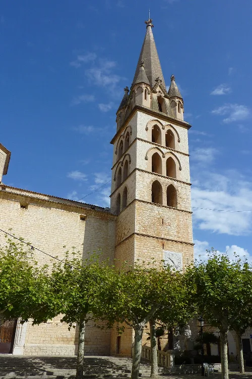
Mancor de la Vall has a rich historical background, with evidence of prehistoric settlements and a name derived from the Arabic term 'benacor'. Following the conquest by King Jaime I in 1229, the area evolved from four alquerías into a recognized municipality. The establishment of the church of San Juan Bautista in 1606 marked a significant development in local religious life.
Explore Mancor de la Vall, a charming municipality in Mallorca known for its rich history and vibrant local culture.
Mancor de la Vall hosts a variety of local festivals that reflect its cultural heritage. Celebrations include San Antonio in January, Carnival in February, and the patronal feast of San Juan Bautista in June. These events often feature traditional activities such as parades, music, and communal meals.
Historically, agriculture formed the backbone of Mancor's economy, with olive cultivation being particularly significant. Over time, the municipality has seen shifts in economic activities, including the rise of the shoe industry in the 20th century. Today, various local associations contribute to community life, promoting sports, culture, and social engagement.
Own text, written with AI assistance from the facts in Wikipedia · Mancor de la Vall · Data: Wikidata Q988696 · Photos: Wikimedia Commons, see individual licenses. · CC BY-SA 4.0