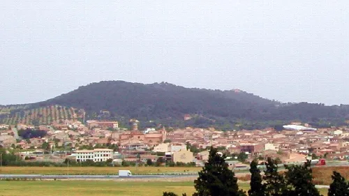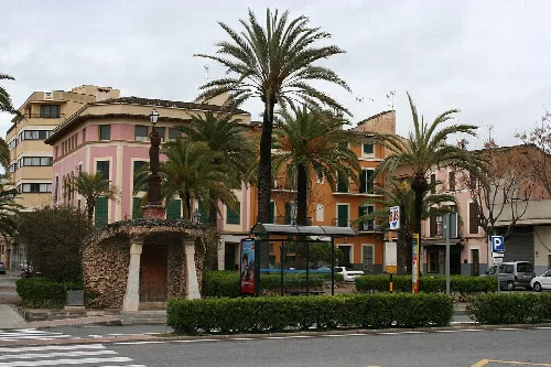
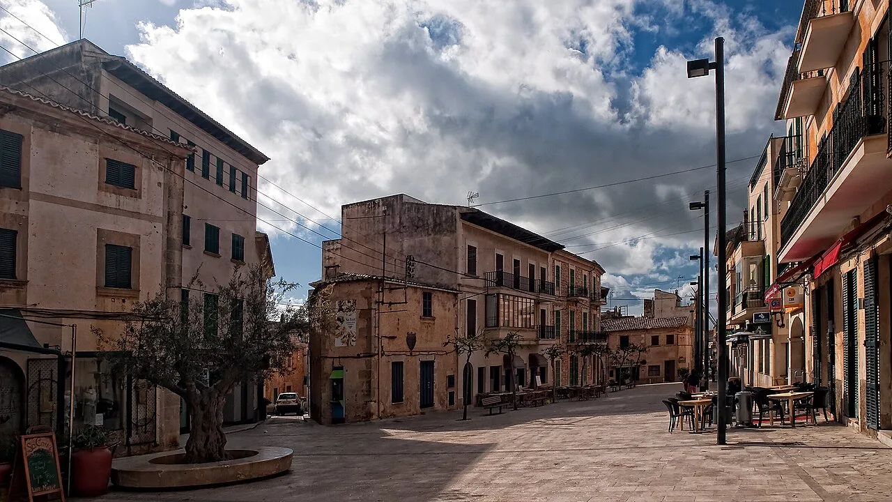
A square with old buildings and a tree in Santanyí. Araceli Merino, CC BY-SA 3.0

Santanyí

Mallorca

13,067Population
124.47 km²Area
62 mElevation
07659Postal code

Santanyí is a municipality located in the southeastern part of Mallorca, known for its picturesque coastal areas and historical significance. It features a blend of natural beauty, cultural heritage, and vibrant local traditions.

02Geography

Santanyí is situated in the southeastern region of Mallorca, bordered by Ses Salines to the west, Campos to the north, and Felanitx to the east. The municipality encompasses a coastal stretch of approximately 35 kilometers, including the southernmost point of Mallorca at Cap de ses Salines. The highest elevations within the area are Puig Gros and Pena Bosca.

Distance to Palma
56 kilometers
Coastal length
35 kilometers
Highest elevation
280 meters (Pena Bosca)
Highest elevation
271 meters (Puig Gros)

03History

The first recorded mention of Santanyí dates back to 1236 under the name Sancti Aini. It was granted town status by King Jaume II in 1300. The name is believed to derive from the Latin Sanctus Agnus, meaning 'Holy Sheep,' which is reflected in the municipality's coat of arms. Throughout its history, Santanyí faced numerous pirate attacks, leading to the construction of defensive structures along its coastline.

Discover Santanyí, a charming municipality in southeastern Mallorca known for its rich history and beautiful coastline.

04Attractions and Events

Santanyí boasts several notable attractions, including the 18th-century church of Sant Andreu, which features a baroque organ. The town also has historical sites like the 14th-century sa Porta Murada and the Santuari de la Consolació, offering panoramic views. The nearby Parc natural de Mondragó is a protected area known for its biodiversity.
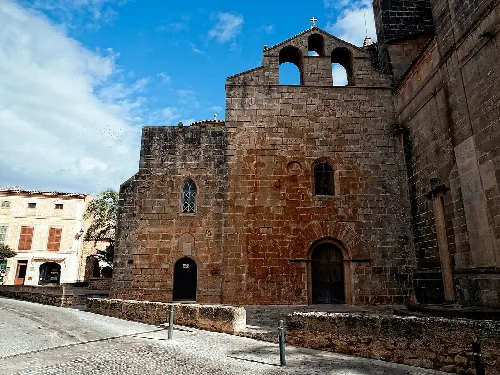
Roser church with stone facade and small windows in Santanyí.
Roser church of Santanyí with its historic facade and small windows
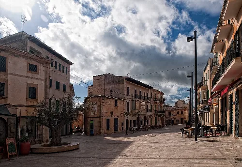
View of the main square with buildings and tree in Santanyí.
Main square in Santanyí with old buildings and a tree in the center.
Santanyí · Data
Region
Migjorn
Island
Mallorca
Population
13,067
Area
124.47 km²
Elevation
62 m
Postal code
07659
Website
http://www.ajsantanyi.net/
Coordinates
39.3542, 3.1283

Photos

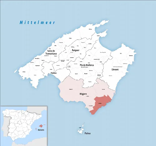
Map of Santanyí municipality with surrounding areas on Mallorca.
Map of the municipality of Santanyí in southern Mallorca, highlighted in the Migjorn region.
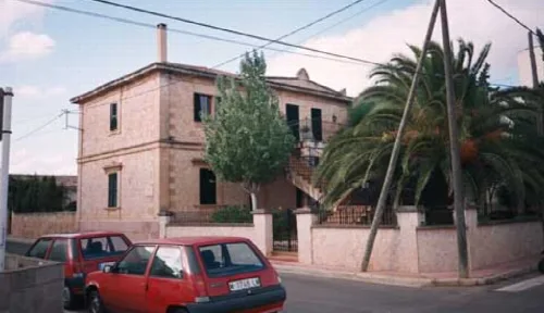
Old station building with trees and cars in front.
Old Santañí station building of the Palma-Santañí line, closed in 1964, in Santanyí.
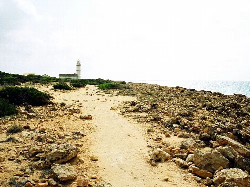
A rocky path leads to the lighthouse at Cap de ses Salines.
The path leads to Cap de ses Salines, Mallorca's southernmost point, with a lighthouse in the background.
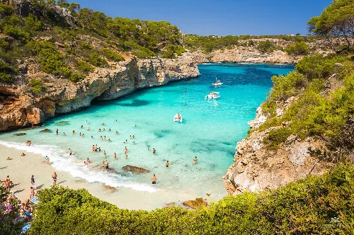
Bay with water and swimmers at Calo des Moro.
Bay at Calo des Moro with clear water and swimmers, surrounded by rocks and greenery.
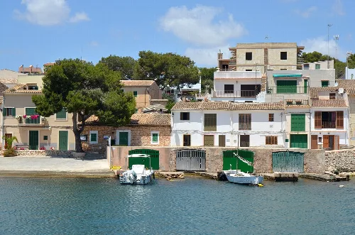
Houses at the port with boats in the water in Porto Petro.
View of houses at the port of Porto Petro in Santanyí, with boats in the water.

Map

Nearby

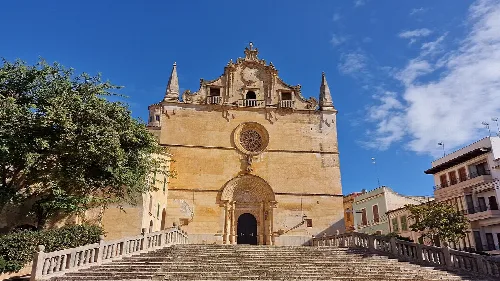
View of San Miguel Church with stairs and blue sky.
Felanitx
Migjorn · 19,146 inhabitants
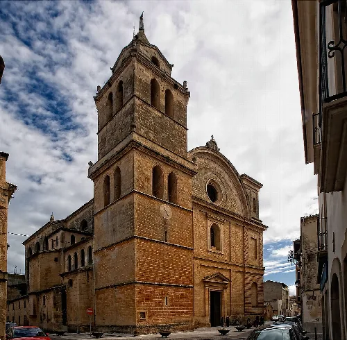
Stone church with tall tower in Campos, Mallorca.
Campos
Migjorn · 12,485 inhabitants
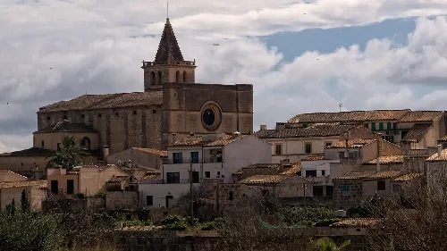
General landscape of Porreres (Mallorca, Spain)
Porreres
Pla de Mallorca · 5,892 inhabitants
Palm trees and buildings at Plaça de sa Mora in Manacor.
Manacor
Llevant · 49,153 inhabitants

Own text, written with AI assistance from the facts in Wikipedia · Santanyí · Data: Wikidata Q983633 · Photos: Wikimedia Commons, see individual licenses. · CC BY-SA 4.0