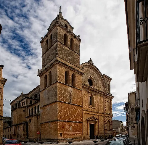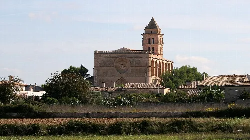
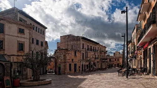
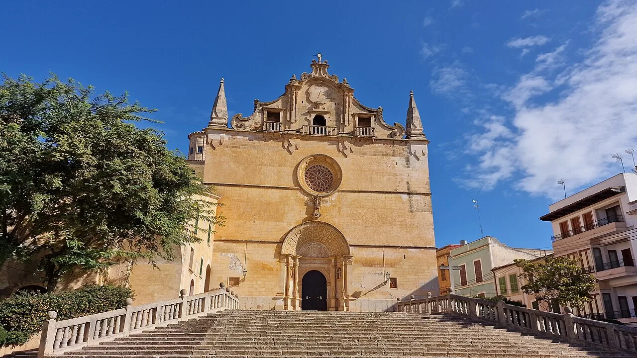
View of San Miguel Church with stairs and blue sky. Lopezsuarez, CC BY-SA 4.0

Felanitx

Mallorca

19,146Population
169.79 km²Area
95 mElevation
07200Postal code

Felanich, located in the Migjorn comarca of Mallorca, is a municipality known for its rich cultural traditions and beautiful coastal areas. It encompasses several population centers, including the capital Felanich and the picturesque Porto Colom.

02Geography

Felanich is situated in the northeastern part of the Migjorn comarca on the island of Mallorca, bordered by the Mediterranean Sea. The municipality includes various population centers, with the capital being Felanich itself, along with Porto Colom, s'Horta, and several others. The area features notable elevations, including San Salvador, Sa Comuna, and the castle of Santueri.

Highest point
San Salvador (509 m)
Other notable elevations
Sa Comuna (429 m), Santueri Castle (408 m)

03Cultural Events

Felanich hosts a variety of festivals and fairs throughout the year, reflecting its vibrant community spirit. Major celebrations include the Feria de Mayo in May and the Feria de San Agustín in August, among others. Each locality within the municipality also has its own unique festivities.

Felanich is a municipality in Mallorca, known for its cultural traditions and coastal beauty, including Porto Colom.

04Traditions and Dances

The municipality is rich in traditional dances and cultural expressions, such as Els Cavallets, a ritual dance performed by children, and the Sant Joan Pelós dance, which features a young man representing Saint John the Baptist. These performances are integral to local celebrations and showcase the community's heritage.
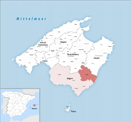
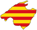
Map of the Felanitx municipality on Mallorca.
Map of the Felanitx municipality in southern Mallorca, highlighted in Migjorn.
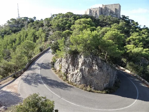
Curved road Ma-4011 with rocks and trees, view of Santueri castle.
Final hairpin turn on the Ma-4011 road with view of Santueri castle near Felanitx.
Felanitx · Data
Region
Migjorn
Island
Mallorca
Population
19,146
Area
169.79 km²
Elevation
95 m
Postal code
07200
Website
http://www.ajfelanitx.net
Coordinates
39.4692, 3.1481

Photos

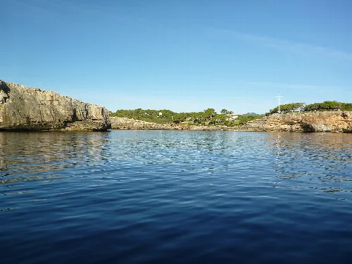
View of the sea and rocks of Cala sa Nau.
View from the sea of Cala sa Nau in Felanitx, Mallorca.
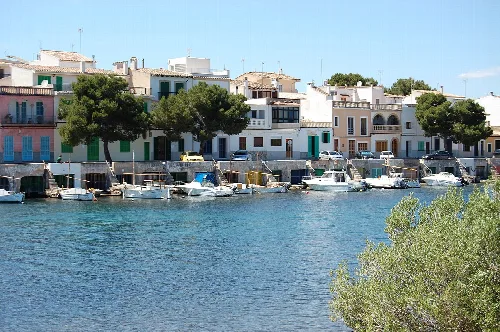
Port with boats and white buildings in Portocolom.
Old port of Portocolom with boats and houses by the water.
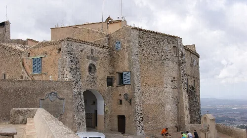
Stone building with gate and small windows on a hill near Felanitx.
An old building complex at the top of Puig de Sant Salvador near Felanitx
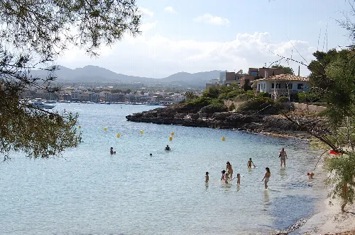
Bay with people in the water and port in the background.
Bathing bay and port of Portocolom, surrounded by houses and trees.
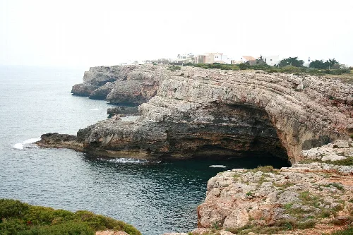
Rock formation with a cave in the water at Portocolom, Felanitx

Map

Nearby

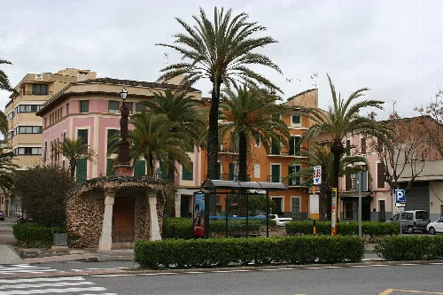
Palm trees and buildings at Plaça de sa Mora in Manacor.
Manacor
Llevant · 49,153 inhabitants
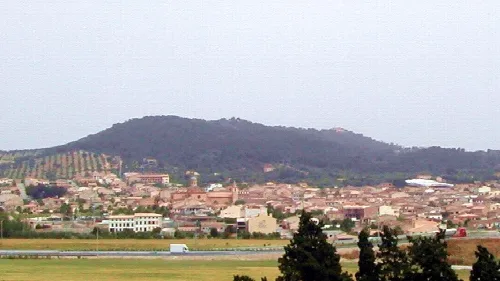
General landscape of Porreres (Mallorca, Spain)
Porreres
Pla de Mallorca · 5,892 inhabitants
Stone church with tall tower in Campos, Mallorca.
Campos
Migjorn · 12,485 inhabitants
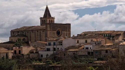
Church with tower in Petra, Mallorca.
Petra
Pla de Mallorca · 3,231 inhabitants

Own text, written with AI assistance from the facts in Wikipedia · Felanitx · Data: Wikidata Q743741 · Photos: Wikimedia Commons, see individual licenses. · CC BY-SA 4.0