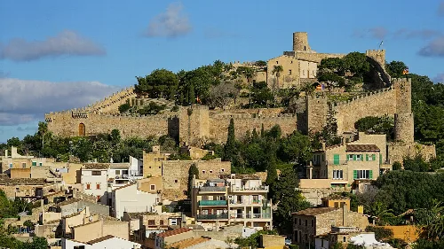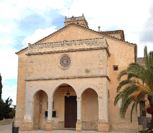
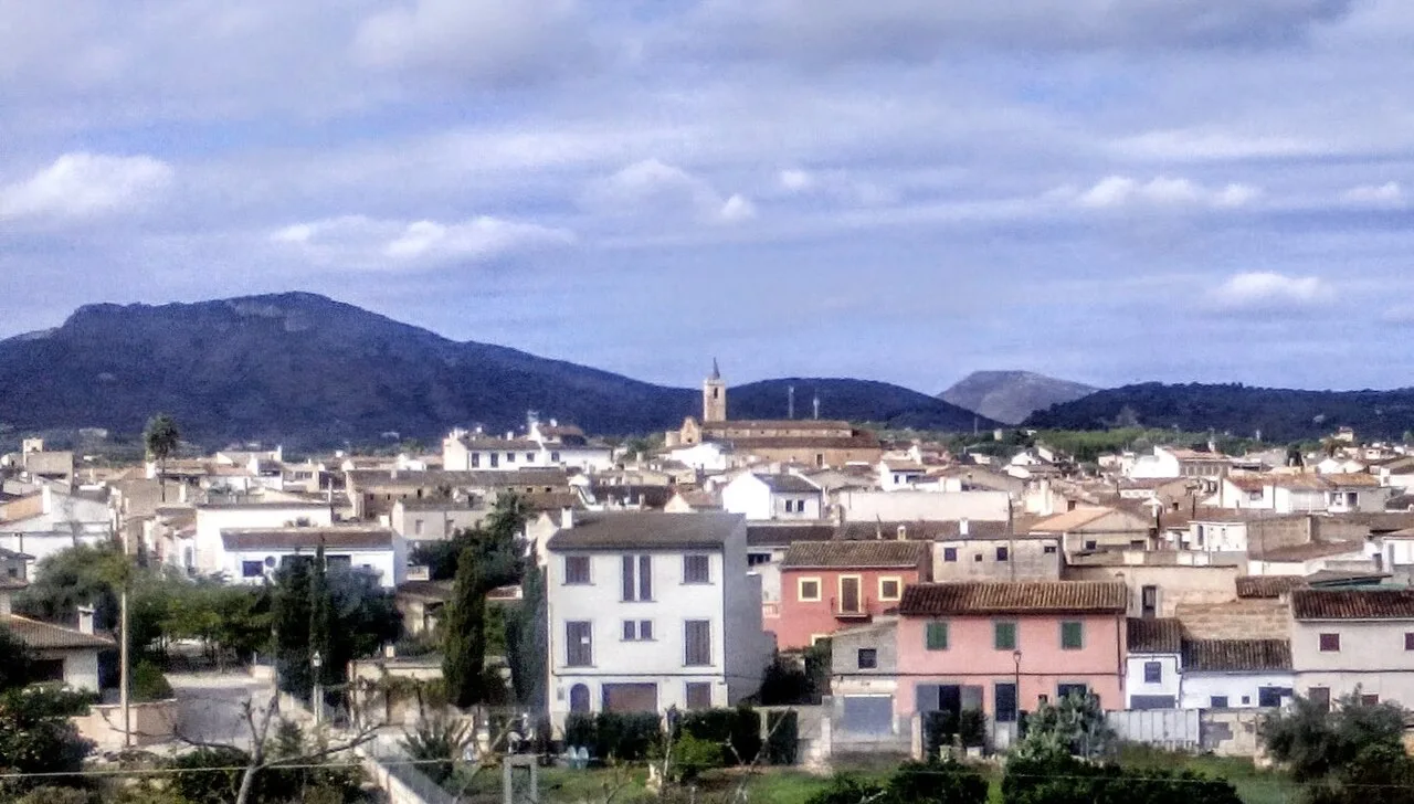
Townhouses and mountains in the background. PVoramar, CC BY-SA 4.0

Sant Llorenç des Cardassar

Mallorca

9,231Population
81.98 km²Area
74 mElevation
07560Postal code

Sant Llorenç des Cardassar is a municipality located on the eastern coast of Mallorca, known for its beachside tourist areas and historical significance. It features a blend of coastal charm and inland village life, making it a unique part of the island's landscape.

02Geography

Sant Llorenç des Cardassar is situated 34 mi (55 km) east of Palma de Mallorca. The municipality includes the town of Sant Llorenç and the village of Son Carrió, along with popular coastal areas such as Sa Coma, s'Illot, and Cala Millor. The Punta de n'Amer headland separates Cala Millor from Sa Coma, enhancing the scenic beauty of the region.

Coastline
Adjoins popular beach areas including Sa Coma and Cala Millor.
Surrounding municipalities
Manacor, Petra, Artà, Son Servera.
Main roads
Ma-15, Ma-4030, Ma-4023.

03History

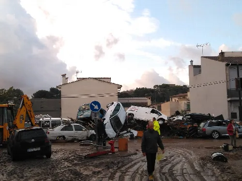
Originally part of Manacor, Sant Llorenç des Cardassar became an independent municipality in 1892. The area is marked by historical events, including the construction of the Punta de n'Amer Castle in the 17th century and a devastating flash flood in October 2018 that claimed 13 lives, prompting a large-scale emergency response.

Discover Sant Llorenç des Cardassar, a charming municipality on Mallorca's eastern coast with rich history and beautiful beaches.

04Culture and Media

Sant Llorenç des Cardassar is also known for its cultural contributions, including being the birthplace of Margarita Fullana, a notable mountain biker. The municipality has gained additional recognition as the filming location for the ITV2 series Love Island, which takes place on a nearby farm.
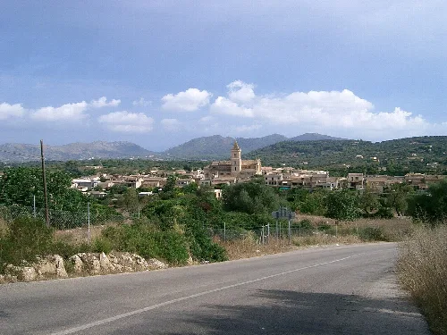
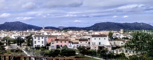
Landscape with village and mountains in the background, road in the foreground.
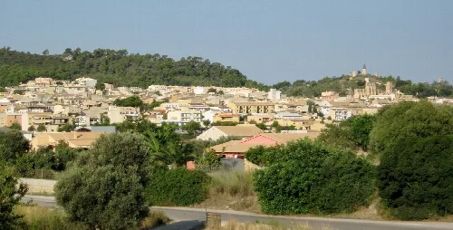
View of Son Carrió from the road to Portocristo in Sant Llorenç des Cardassar.
View of Sant Llorenç des Cardassar with mountains in the background.
Sant Llorenç des Cardassar · Data
Region
Llevant
Island
Mallorca
Population
9,231
Area
81.98 km²
Elevation
74 m
Postal code
07560
Website
http://www.santllorenc.es
Coordinates
39.6090, 3.2853

Photos

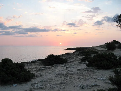
Sunset over the sea at Punta de n'Amer with coastal vegetation.
Sunset at Punta de n'Amer with views of the sea and coast near Sant Llorenç des Cardassar
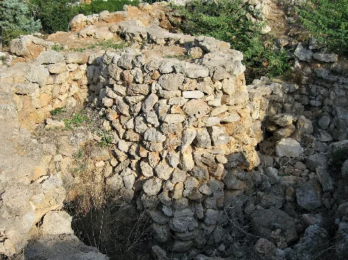
Stone wall remains of a Talayotic village in S'Illot.
Remains of a Talayotic village in S'Illot with stone walls.
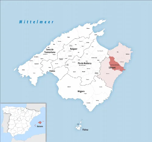
Map of Sant Llorenç des Cardassar in Mallorca
Map of the municipality of Sant Llorenç des Cardassar in northeastern Mallorca
Cars and water in a flooded street in Sant Llorenç.
Flooding in Sant Llorenç with overturned vehicles and water accumulation.
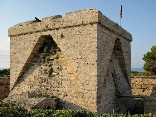
Stone fortress with flag in Mallorca.
The Castell de Sa Punta de n'Amer in Sant Llorenç des Cardassar, Mallorca, featuring its sturdy stone construction.

Map

Nearby

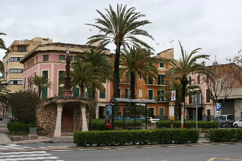
Palm trees and buildings at Plaça de sa Mora in Manacor.
Manacor
Llevant · 49,153 inhabitants
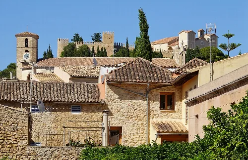
Buildings and castle in Artà, Mallorca, Spain
Artà
Llevant · 8,629 inhabitants
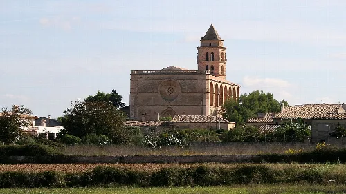
Church with tower in Petra, Mallorca.
Petra
Pla de Mallorca · 3,231 inhabitants
Facade of the Church of Our Lady of Atocha with palm trees in Ariany.
Ariany
Pla de Mallorca · 1,072 inhabitants

Own text, written with AI assistance from the facts in Wikipedia · Sant Llorenç des Cardassar · Data: Wikidata Q983463 · Photos: Wikimedia Commons, see individual licenses. · CC BY-SA 4.0